Free Trade Zone · China

Linzhang Economic Development Zone Active
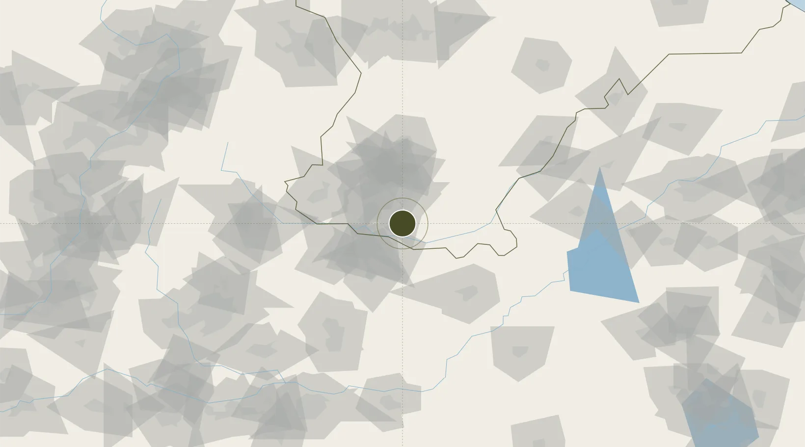
36.3605°, 114.4649°
400 ha
Zone area
414.5 km
Nearest port
18.6 km
Nearest airport

Gateway access

Nearest neighbours — logibook spatial index (haversine) over the source coordinates

Zone profile

Zone type
Free Trade Zone
Open Zone Map
Region
Hebei
Open Zone Map
Status
Active
Open Zone Map
Management
Public
Open Zone Map
Operator
Working Committee of Linzhang Economic Development Zone
Open Zone Map
Legal framework
Overall Plan of Linzhang New Urban District (2016-2030)
Open Zone Map

Location

Location of ozm-1511
Natural Earth 10m (public domain) · Hebei · ozm-1511 · 36.36, 114.46GoogleOSMYandex

Nearby Logistics Neighbours

Ports
  1. 1Tianjin Xin Gang415 km
  2. 2Lanshan465 km
  3. 3Rizhao472 km
  4. 4Lianyungang486 km
  5. 5Tangshan (Jingtang)510 km
Nearest neighbours — logibook spatial index (haversine) over the source coordinates
Airports
  1. 1Handan Airport19 km
  2. 2Anyang Hongqiqu Airport54 km
  3. 3Changzhi Wangcun Airport121 km
  4. 4Heze Mudan Airport172 km
  5. 5Kaifeng Air Base179 km
Nearest neighbours — logibook spatial index (haversine) over the source coordinates
Cities
  1. 1Hebi70 km
  2. 2Puyang88 km
  3. 3Liaocheng126 km
  4. 4Xinxiang130 km
  5. 5Dazhaoying137 km
Nearest neighbours — logibook spatial index (haversine) over the source coordinates
Trade Zones
  1. 1Handan Matou Economic Development Zone13 km
  2. 2Chengan Economic Development Zone20 km
  3. 3Anyang Textile Industry Cluster22 km
  4. 4Handan Industrial Park28 km
  5. 5Wanxi High-tech Industrial Development Zone33 km
Nearest neighbours — logibook spatial index (haversine) over the source coordinates
DatabookThe Record of Consolidated Knowledge
China beyond logistics?
Browse databook

All Sources

Trade ZonesOpen Zone Map
CC BY
Portsthe NGA World Port Index
Public domain (US gov)
AirportsOurAirports
Public domain
LocationsUN/LOCODE
UN/LOCODE — free
← China trade zones