Transport Functions
Rail
Road
Hub Profile
Place type
Provincial seat
Region
Henan
Population
1,047,088
Time zone
Asia/Shanghai
Elevation
82 m
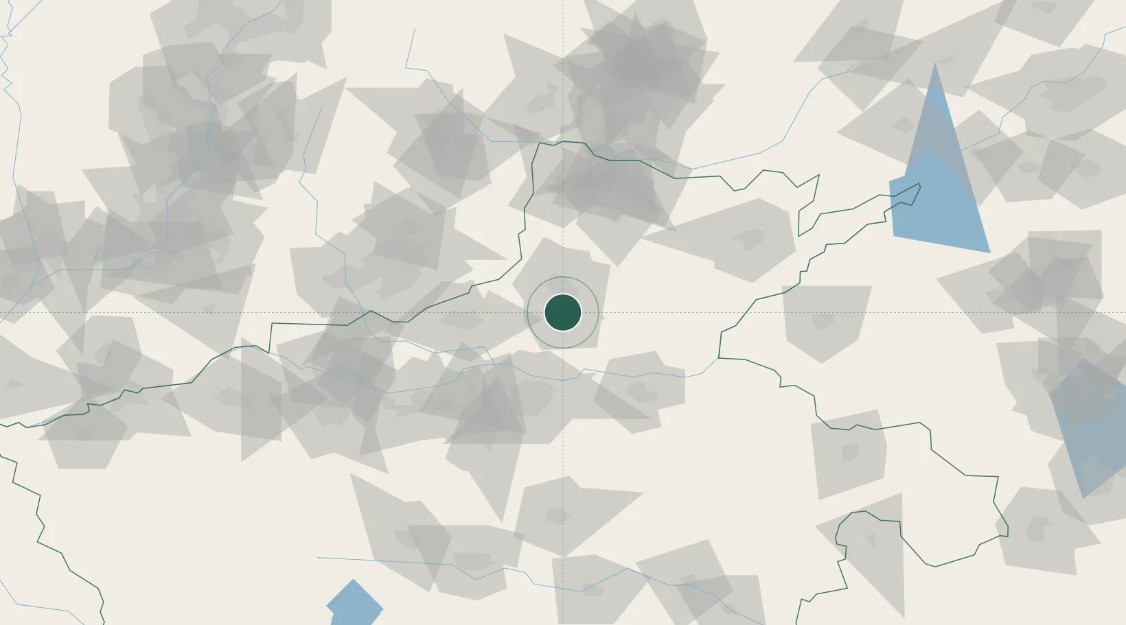
Location
Nearby Logistics Neighbours
Cities
- 1Dazhaoying10 km
- 2Zhengzhoudong Railway Station62 km
- 3Zhengzhou62 km
- 4Hebi63 km
- 5Jiaozuo65 km
Ports
- 1Lanshan500 km
- 2Lianyungang512 km
- 3Rizhao517 km
- 4Hankow526 km
- 5Tianjin Xin Gang538 km
Airports
- 1Zhengzhou Air Base50 km
- 2Kaifeng Air Base74 km
- 3Anyang Hongqiqu Airport83 km
- 4Zhengzhou Xinzheng International Airport86 km
- 5Changzhi Wangcun Airport125 km
DatabookThe Record of Consolidated Knowledge
China beyond logistics?