Export Processing Zone · China

Handan Industrial Park Active
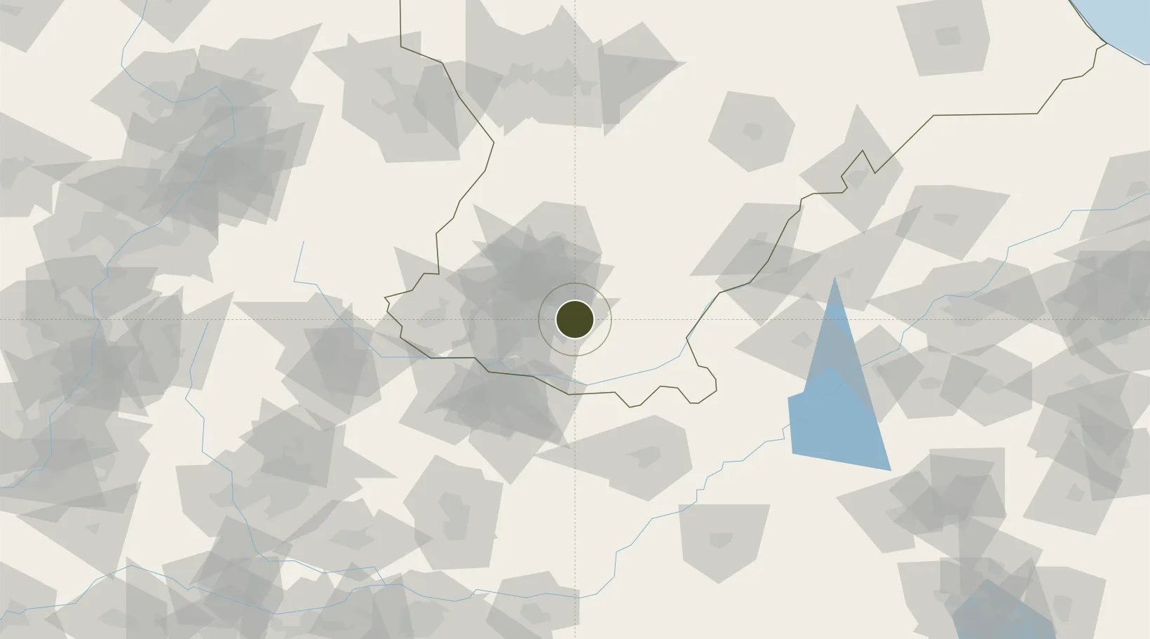
36.5916°, 114.5990°
792 ha
Zone area
388.0 km
Nearest port
17.3 km
Nearest airport

Gateway access

Nearest neighbours — logibook spatial index (haversine) over the source coordinates

Zone profile

Zone type
Export Processing Zone
Open Zone Map
Region
Hebei
Open Zone Map
Status
Active
Open Zone Map
Management
Public
Open Zone Map
Operator
Handan Industrial Park Management Committee
Open Zone Map
Legal framework
Provincial industrial park approved by the provincial government in 1992
Open Zone Map

Location

Location of ozm-1220
Natural Earth 10m (public domain) · Hebei · ozm-1220 · 36.59, 114.60GoogleOSMYandex

Nearby Logistics Neighbours

Ports
  1. 1Tianjin Xin Gang388 km
  2. 2Lanshan461 km
  3. 3Rizhao467 km
  4. 4Tangshan (Jingtang)484 km
  5. 5Lianyungang484 km
Nearest neighbours — logibook spatial index (haversine) over the source coordinates
Airports
  1. 1Handan Airport17 km
  2. 2Anyang Hongqiqu Airport81 km
  3. 3Changzhi Wangcun Airport137 km
  4. 4Jiugucheng Air Base168 km
  5. 5Heze Mudan Airport184 km
Nearest neighbours — logibook spatial index (haversine) over the source coordinates
Cities
  1. 1Hebi98 km
  2. 2Liaocheng105 km
  3. 3Puyang106 km
  4. 4Zhangqiu137 km
  5. 5Xinji155 km
Nearest neighbours — logibook spatial index (haversine) over the source coordinates
Trade Zones
  1. 1Daming Economic Development Zone10 km
  2. 2Chengan Economic Development Zone15 km
  3. 3Handan Matou Economic Development Zone23 km
  4. 4Linzhang Economic Development Zone28 km
  5. 5Yongnian Industrial Park29 km
Nearest neighbours — logibook spatial index (haversine) over the source coordinates
DatabookThe Record of Consolidated Knowledge
China beyond logistics?
Browse databook

All Sources

Trade ZonesOpen Zone Map
CC BY
Portsthe NGA World Port Index
Public domain (US gov)
AirportsOurAirports
Public domain
LocationsUN/LOCODE
UN/LOCODE — free
← China trade zones