Export Processing Zone · China

Peixian Economic Development Zone Active
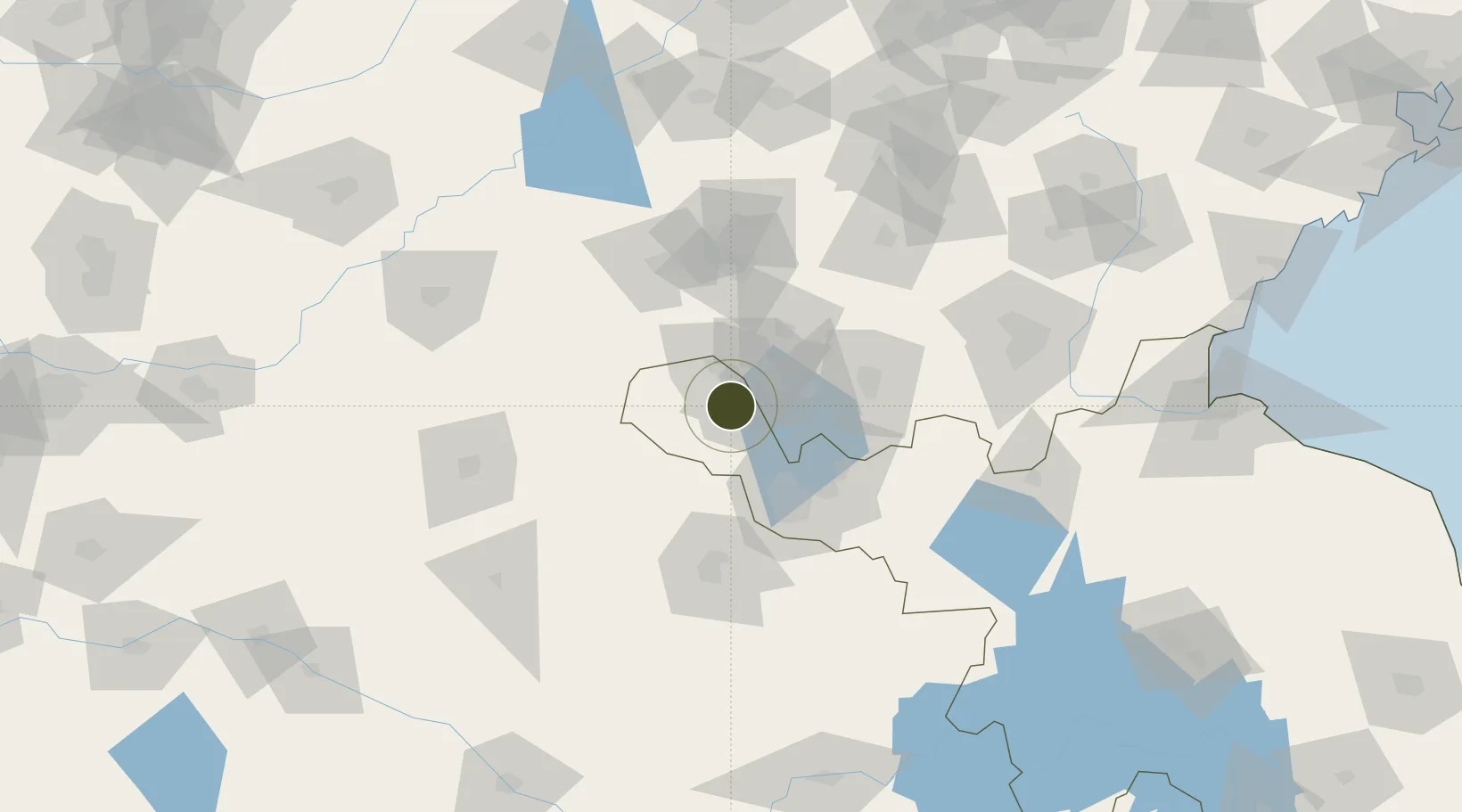
34.7220°, 116.9049°
460 ha
Zone area
228.0 km
Nearest port
63.1 km
Nearest airport

Gateway access

Nearest neighbours — logibook spatial index (haversine) over the source coordinates

Zone profile

Zone type
Export Processing Zone
Open Zone Map
Region
Jiangsu
Open Zone Map
Status
Active
Open Zone Map
Management
Public
Open Zone Map
Operator
Management Commitiee
Open Zone Map
Legal framework
Provincial Development Zone approved by Jiangsu Provincial Government
Open Zone Map

Location

Location of ozm-1153
Natural Earth 10m (public domain) · Jiangsu · ozm-1153 · 34.72, 116.90GoogleOSMYandex

Nearby Logistics Neighbours

Ports
  1. 1Lanshan228 km
  2. 2Lianyungang233 km
  3. 3Rizhao253 km
  4. 4Qingdao Gang338 km
  5. 5Nanjing340 km
Nearest neighbours — logibook spatial index (haversine) over the source coordinates
Airports
  1. 1Xuzhou Daguozhang Air Base63 km
  2. 2Jining Qufu Airport81 km
  3. 3Xuzhou Guanyin International Airport95 km
  4. 4Jining Da'an Airport104 km
  5. 5Heze Mudan Airport120 km
Nearest neighbours — logibook spatial index (haversine) over the source coordinates
Cities
  1. 1Zaozhuang41 km
  2. 2Xiaoxian60 km
  3. 3Jining80 km
  4. 4Chizhou102 km
  5. 5Qingguji / Shangqiu104 km
Nearest neighbours — logibook spatial index (haversine) over the source coordinates
Trade Zones
  1. 1Yutai Economic Development Zone39 km
  2. 2Tengzhou Economic Development Zone45 km
  3. 3Quanshan Economic Development Zone48 km
  4. 4Dangshan Economic Development Zone56 km
  5. 5Xuzhou Economic Development Zone61 km
Nearest neighbours — logibook spatial index (haversine) over the source coordinates
DatabookThe Record of Consolidated Knowledge
China beyond logistics?
Browse databook

All Sources

Trade ZonesOpen Zone Map
CC BY
Portsthe NGA World Port Index
Public domain (US gov)
AirportsOurAirports
Public domain
LocationsUN/LOCODE
UN/LOCODE — free
← China trade zones