Transport Functions
Rail
Road
Hub Profile
Place type
Populated place
Region
Chongqing
Time zone
Asia/Shanghai
Elevation
643 m
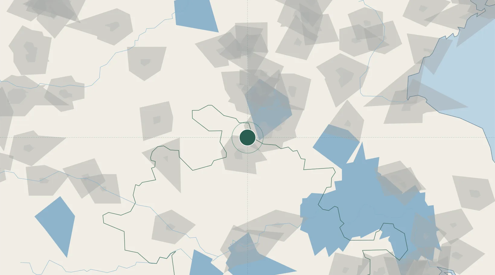
Location
Nearby Logistics Neighbours
Cities
- 1Zaozhuang79 km
- 2Pizhou101 km
- 3Chizhou106 km
- 4Mengcheng108 km
- 5Qingguji / Shangqiu121 km
Ports
- 1Lianyungang239 km
- 2Lanshan244 km
- 3Rizhao275 km
- 4Nanjing288 km
- 5Yangzhou315 km
Airports
- 1Xuzhou Daguozhang Air Base29 km
- 2Xuzhou Guanyin International Airport59 km
- 3Bengbu Tenghu Airport114 km
- 4Jining Qufu Airport135 km
- 5Shangqiu Air Base139 km
DatabookThe Record of Consolidated Knowledge
China beyond logistics?