UN/LOCODE hub · China
CNCHI

Chizhou

34.5488°, 117.9974°
615,274
Population
3
Transport functions

Transport Functions

Port
Rail
Road
UN/LOCODE

Hub Profile

Place type
Provincial seat
GeoNames
Region
Anhui
GeoNames
Population
615,274
GeoNames
Time zone
Asia/Shanghai
GeoNames
Elevation
21 m
GeoNames
Logistics facilities
3
UN/LOCODE

Location

Location of CNCHI
Natural Earth 10m (public domain) · Anhui · CNCHI · 34.55, 118.00GoogleOSMYandex

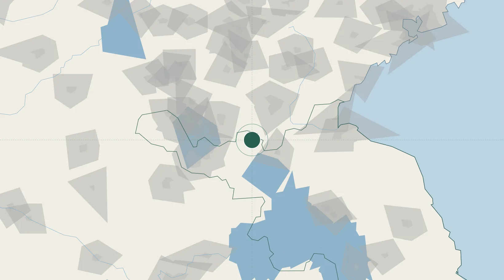
Nearby Logistics Neighbours

Cities
  1. 1Pizhou24 km
  2. 2Cangshan34 km
  3. 3Zhangshan56 km
  4. 4Linyi67 km
  5. 5Zaozhuang68 km
Nearest neighbours — logibook spatial index (haversine) over the source coordinates
Ports
  1. 1Lianyungang135 km
  2. 2Lanshan138 km
  3. 3Rizhao171 km
  4. 4Qingdao Gang264 km
  5. 5Nanjing283 km
Nearest neighbours — logibook spatial index (haversine) over the source coordinates
Airports
  1. 1Linyi Qiyang Airport68 km
  2. 2Xuzhou Guanyin International Airport68 km
  3. 3Xuzhou Daguozhang Air Base78 km
  4. 4Lianyungang Huaguoshan International Airport109 km
  5. 5Huai'an Lianshui Airport134 km
Nearest neighbours — logibook spatial index (haversine) over the source coordinates
Trade Zones
  1. 1Pizhou Economic Development Zone21 km
  2. 2Taierzhuang Economic Development Zone25 km
  3. 3Pizhou High-tech Industrial Development Zone25 km
  4. 4Tancheng Economic Development Zone31 km
  5. 5Lanling Economic Development Zone35 km
Nearest neighbours — logibook spatial index (haversine) over the source coordinates
DatabookThe Record of Consolidated Knowledge
China beyond logistics?
Browse databook

All Sources

LocationsUN/LOCODE
UN/LOCODE — free
LocationsGeoNames
CC BY 4.0
Portsthe NGA World Port Index
Public domain (US gov)
AirportsOurAirports
Public domain
Trade Zonesthe World Bank SEZ database
CC BY 4.0
Trade ZonesOpen Zone Map
CC BY
← China locations