Diversified Zone · China

Xuzhou Economic Development Zone Active
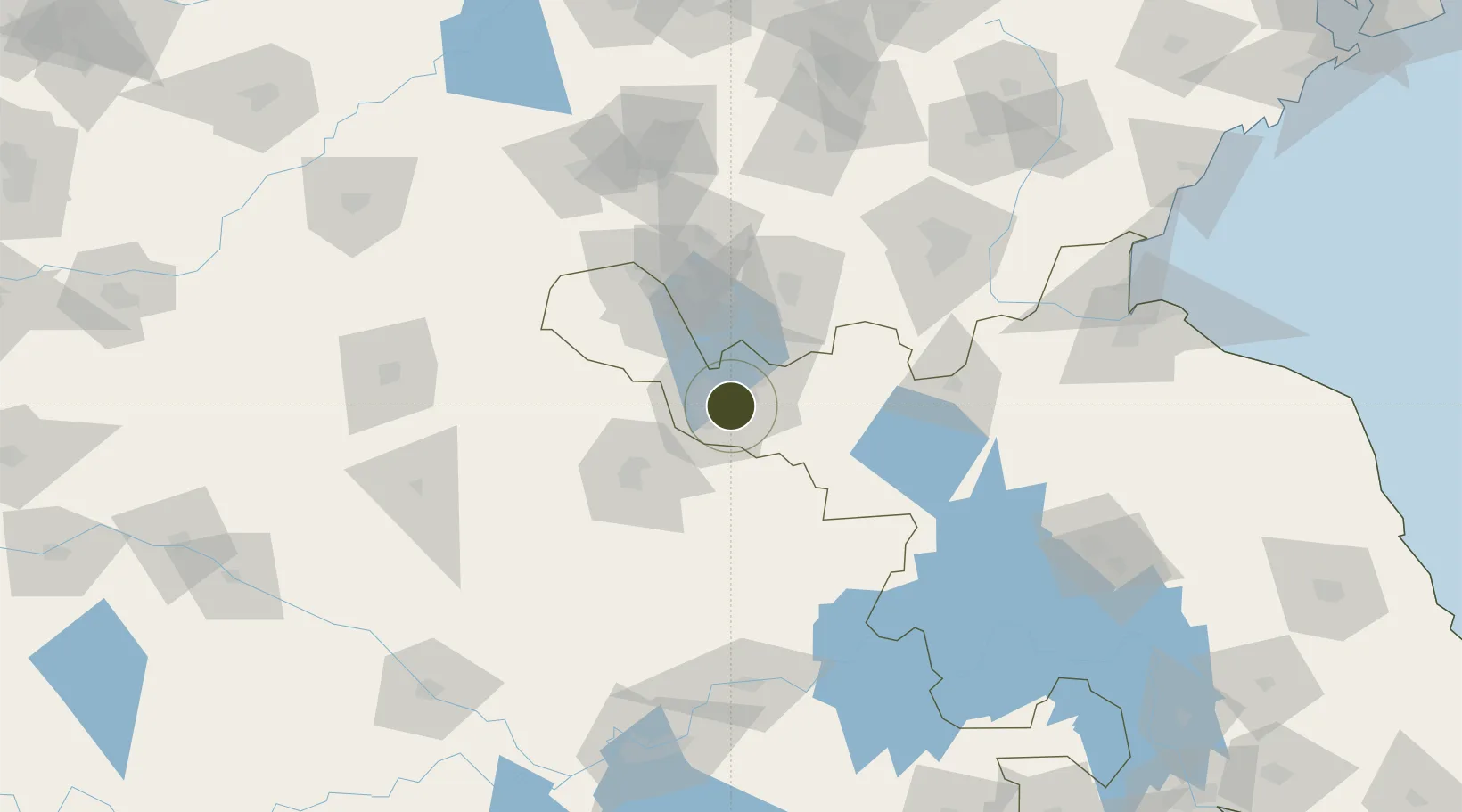
34.2731°, 117.2858°
29,360 ha
Zone area
204.8 km
Nearest port
6.1 km
Nearest airport

Gateway access

Nearest neighbours — logibook spatial index (haversine) over the source coordinates

Zone profile

Zone type
Diversified Zone
Open Zone Map
Region
Jiangsu
Open Zone Map
Status
Active
Open Zone Map
Management
Public
Open Zone Map
Operator
Management Commitiee
Open Zone Map
Legal framework
Founded in July 1992, it was promoted to be a national economic and technological development zone in March 2010
Open Zone Map

Location

Location of ozm-1022
Natural Earth 10m (public domain) · Jiangsu · ozm-1022 · 34.27, 117.29GoogleOSMYandex

Nearby Logistics Neighbours

Ports
  1. 1Lianyungang205 km
  2. 2Lanshan210 km
  3. 3Rizhao242 km
  4. 4Nanjing279 km
  5. 5Yangzhou299 km
Nearest neighbours — logibook spatial index (haversine) over the source coordinates
Airports
  1. 1Xuzhou Daguozhang Air Base6 km
  2. 2Xuzhou Guanyin International Airport34 km
  3. 3Bengbu Tenghu Airport125 km
  4. 4Linyi Qiyang Airport135 km
  5. 5Jining Qufu Airport142 km
Nearest neighbours — logibook spatial index (haversine) over the source coordinates
Cities
  1. 1Xiaoxian34 km
  2. 2Zaozhuang61 km
  3. 3Pizhou68 km
  4. 4Chizhou72 km
  5. 5Cangshan95 km
Nearest neighbours — logibook spatial index (haversine) over the source coordinates
Trade Zones
  1. 1Tongshan Economic Development Zone10 km
  2. 2Quanshan Economic Development Zone19 km
  3. 3Xuzhou Industrial Park22 km
  4. 4Xuzhou Industrial Park22 km
  5. 5Xiaoxian Economic Development Zone27 km
Nearest neighbours — logibook spatial index (haversine) over the source coordinates
DatabookThe Record of Consolidated Knowledge
China beyond logistics?
Browse databook

All Sources

Trade ZonesOpen Zone Map
CC BY
Portsthe NGA World Port Index
Public domain (US gov)
AirportsOurAirports
Public domain
LocationsUN/LOCODE
UN/LOCODE — free
← China trade zones