Medium airport · China

Jining Da'an AirportZSJG
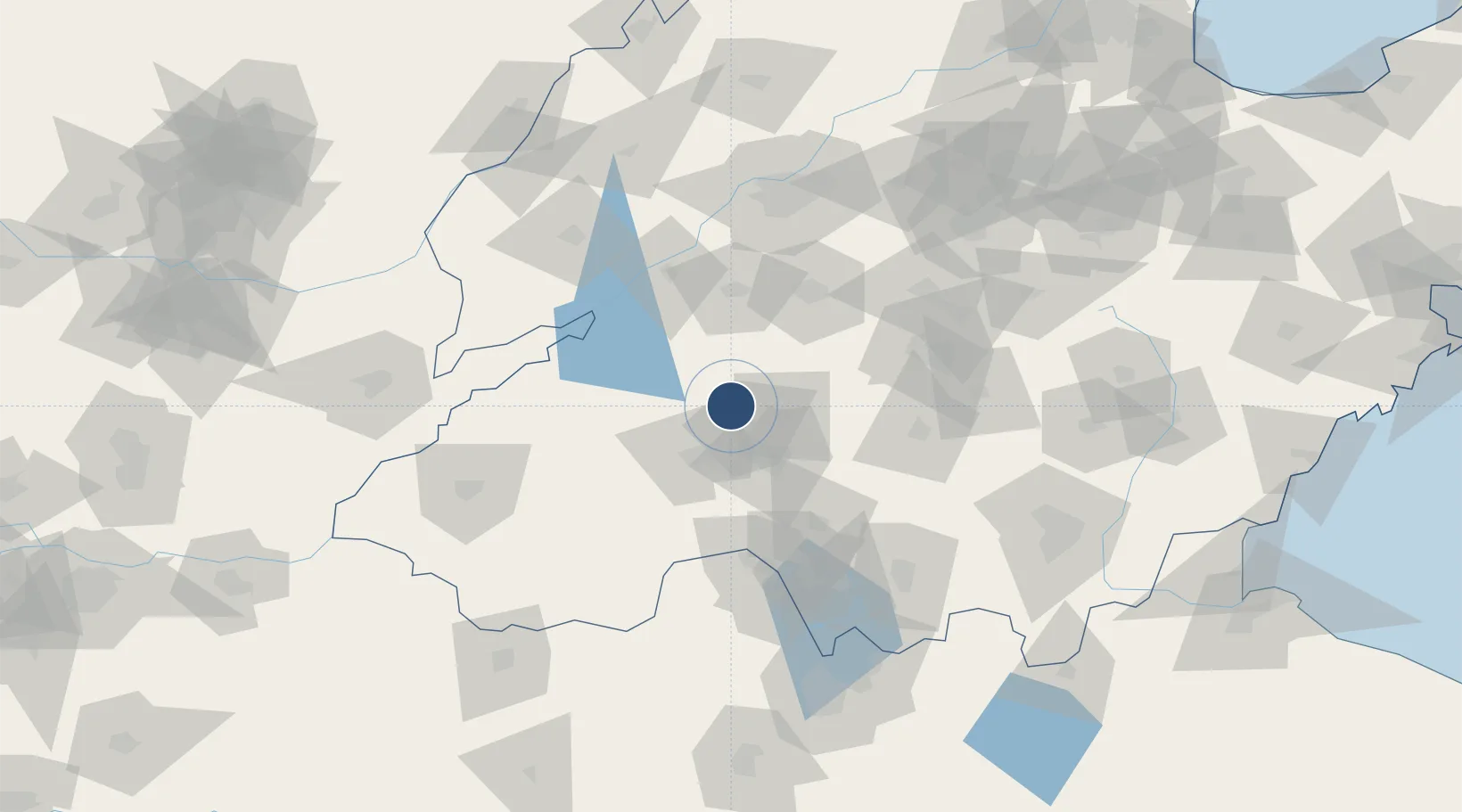
35.6474°, 116.7433°
9,186 ft
Longest runway
1
Runways
171 ft
Elevation

Runway & Layout

Jining Da'an Airport runway & taxiway layout
Runway & taxiway layout — OpenStreetMap (ODbL) / OurAirports

Runways · 1

RunwayDimensions SurfaceTrue headingLit
09/27 9,186 × 148ft Concrete
OurAirports

Airport Specifications

IATA code
JNG
OurAirports
ICAO code
ZSJG
OurAirports
Airport class
Medium airport
OurAirports
Scheduled service
Yes
OurAirports
Runway surface
Concrete
OurAirports
Served city
Jining
OurAirports

Location

Location of ZSJG
Natural Earth 10m (public domain) · Shandong · ZSJG · 35.65, 116.74GoogleOSMYandex

Nearby Logistics Neighbours

Airports
  1. 1Jining Qufu Airport53 km
  2. 2Guodu Air Base89 km
  3. 3Heze Mudan Airport103 km
  4. 4Jinan Yaoqiang International Airport141 km
  5. 5Xuzhou Daguozhang Air Base164 km
Nearest neighbours — logibook spatial index (haversine) over the source coordinates
Cities
  1. 1Jining34 km
  2. 2Taian69 km
  3. 3Zhangqiu83 km
  4. 4Zaozhuang107 km
  5. 5Jinan116 km
Nearest neighbours — logibook spatial index (haversine) over the source coordinates
Ports
  1. 1Lanshan246 km
  2. 2Rizhao257 km
  3. 3Lianyungang266 km
  4. 4Qingdao Gang321 km
  5. 5Tianjin Xin Gang382 km
Nearest neighbours — logibook spatial index (haversine) over the source coordinates
Trade Zones
  1. 1Yanzhou Economic Development Zone9 km
  2. 2Qufu Economic Development Zone27 km
  3. 3Jining Economic Development Zone34 km
  4. 4Zoucheng Industrial Park35 km
  5. 5Zoucheng Economic Development Zone35 km
Nearest neighbours — logibook spatial index (haversine) over the source coordinates
DatabookThe Record of Consolidated Knowledge
China beyond logistics?
Browse databook

All Sources

AirportsOurAirports
Public domain
Portsthe NGA World Port Index
Public domain (US gov)
LocationsUN/LOCODE
UN/LOCODE — free
Trade Zonesthe World Bank SEZ database
CC BY 4.0
Trade ZonesOpen Zone Map
CC BY
InfrastructureOpenStreetMap
ODbL 1.0
← China airports