Transport Functions
Port
Multimodal
Hub Profile
Region
41
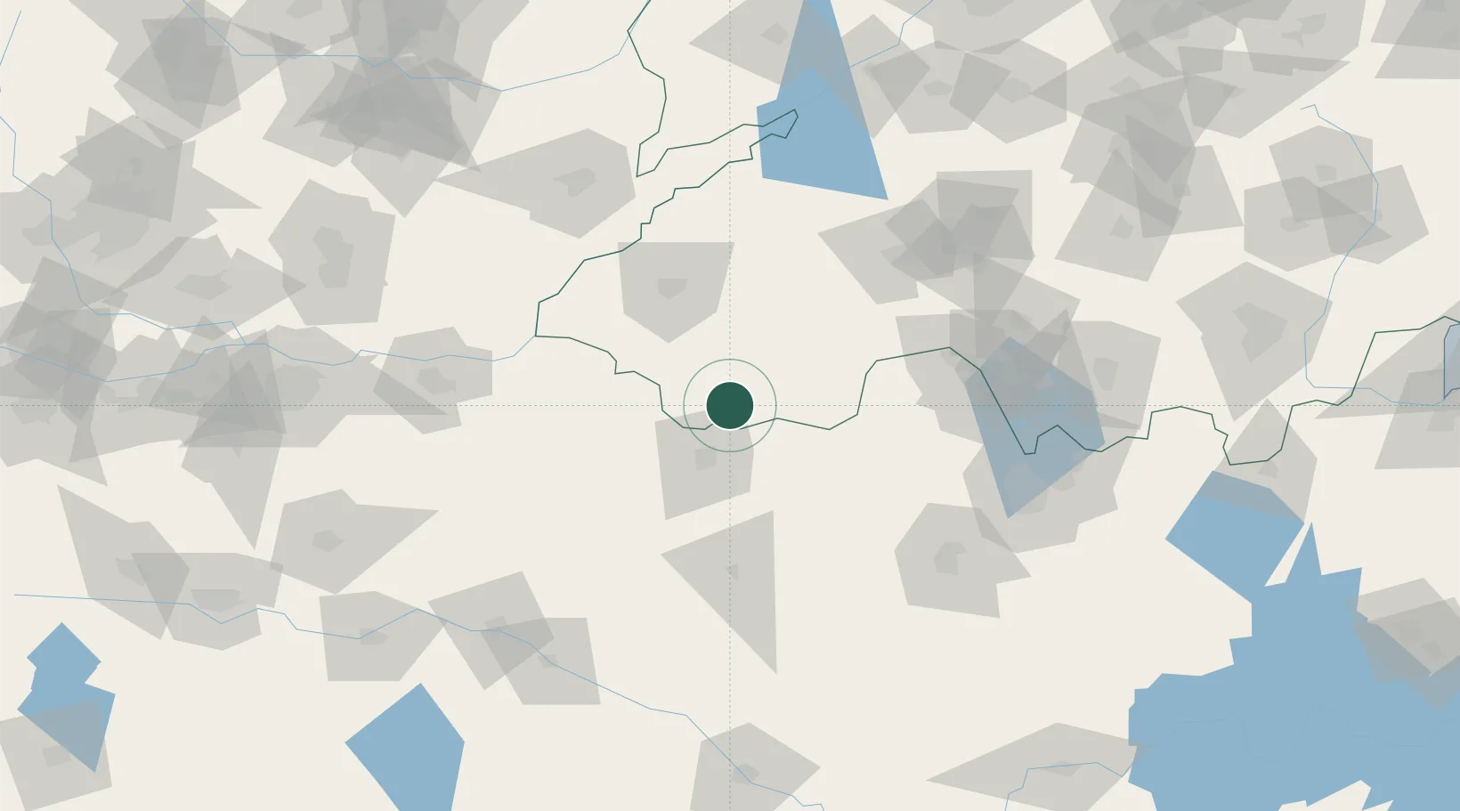
Location
Nearby Logistics Neighbours
Ports
- 1Lanshan331 km
- 2Lianyungang337 km
- 3Rizhao355 km
- 4Nanjing400 km
- 5Yangzhou433 km
Airports
- 1Shangqiu Air Base38 km
- 2Heze Mudan Airport59 km
- 3Jining Qufu Airport86 km
- 4Kaifeng Air Base131 km
- 5Jining Da'an Airport139 km
DatabookThe Record of Consolidated Knowledge
China beyond logistics?