Transport Functions
Rail
Airport
Hub Profile
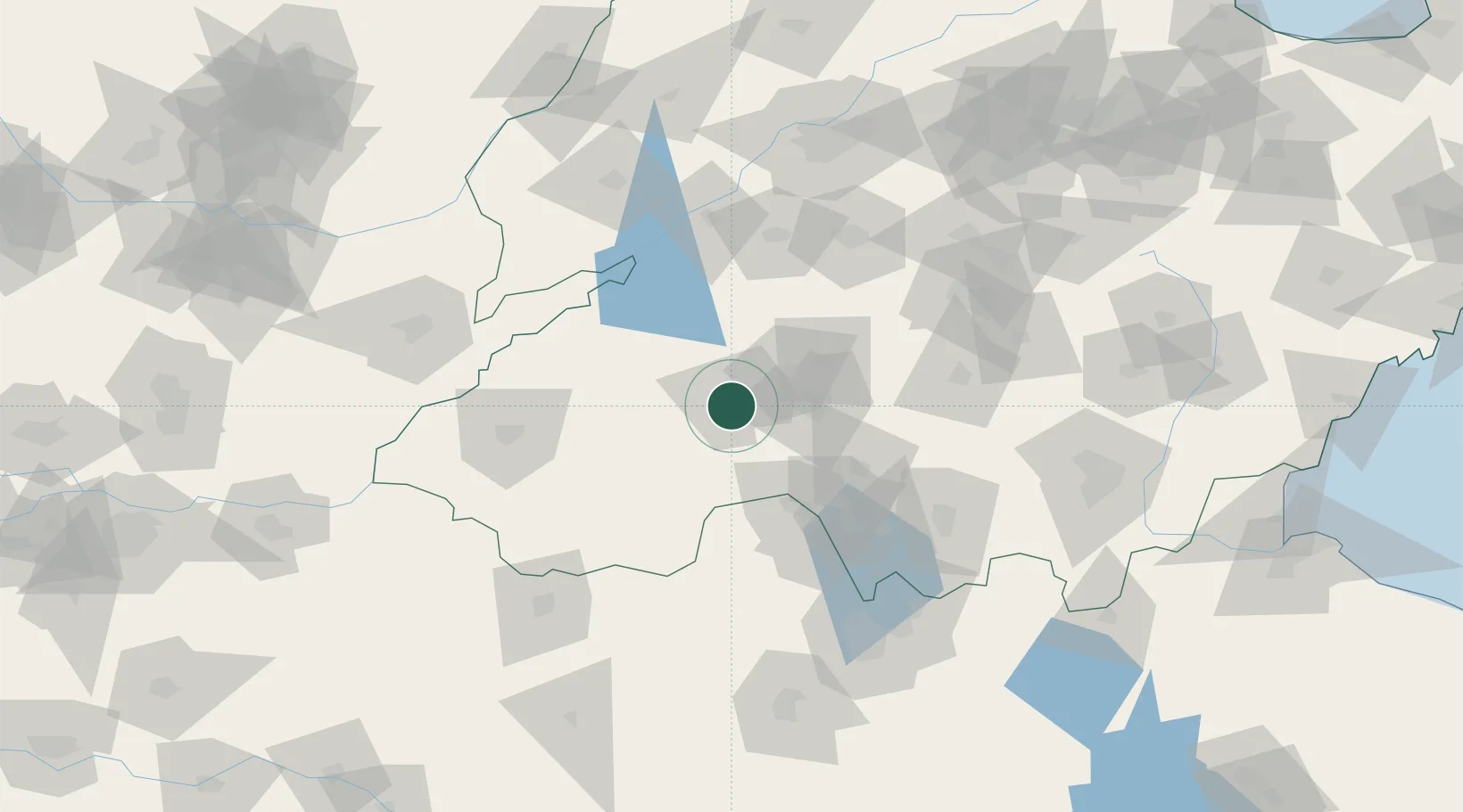
Place type
Populated place
Region
Shandong
Population
1,241,012
Time zone
Asia/Shanghai
Elevation
43 m
Location
Nearby Logistics Neighbours
Cities
- 1Zhangqiu91 km
- 2Zaozhuang95 km
- 3Taian103 km
- 4Qingguji / Shangqiu106 km
- 5Heze108 km
Ports
- 1Lanshan258 km
- 2Rizhao274 km
- 3Lianyungang274 km
- 4Qingdao Gang343 km
- 5Tianjin Xin Gang414 km
Airports
- 1Jining Qufu Airport21 km
- 2Jining Da'an Airport34 km
- 3Heze Mudan Airport76 km
- 4Guodu Air Base119 km
- 5Xuzhou Daguozhang Air Base143 km
Trade Zones
DatabookThe Record of Consolidated Knowledge
China beyond logistics?