Medium airport · China

Xuzhou Guanyin International AirportZSXZ
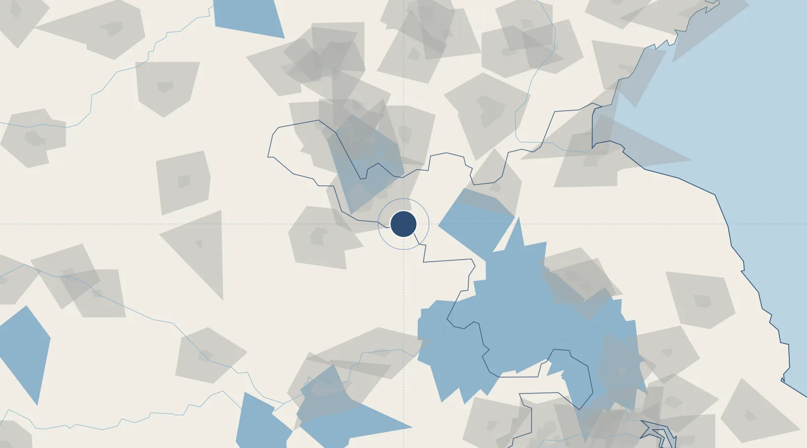
34.0591°, 117.5553°
11,548 ft
Longest runway
1
Runways
108 ft
Elevation

Runway & Layout

Xuzhou Guanyin International Airport runway & taxiway layout
Runway & taxiway layout — OpenStreetMap (ODbL) / OurAirports

Radio Frequencies

TWR
118.25 MHz
XUZ
OurAirports

Runways · 1

RunwayDimensions SurfaceTrue headingLit
09/27 11,548 × 148ft CONC 090°
OurAirports

Airport Specifications

IATA code
XUZ
OurAirports
ICAO code
ZSXZ
OurAirports
Airport class
Medium airport
OurAirports
Scheduled service
Yes
OurAirports
Runway surface
CONC
OurAirports
Served city
Xuzhou
OurAirports

Location

Location of ZSXZ
Natural Earth 10m (public domain) · Jiangsu · ZSXZ · 34.06, 117.56GoogleOSMYandex

Nearby Logistics Neighbours

Airports
  1. 1Xuzhou Daguozhang Air Base34 km
  2. 2Bengbu Tenghu Airport109 km
  3. 3Linyi Qiyang Airport136 km
  4. 4Bengbu Tenghu Airport136 km
  5. 5Huai'an Lianshui Airport148 km
Nearest neighbours — logibook spatial index (haversine) over the source coordinates
Cities
  1. 1Pizhou52 km
  2. 2Xiaoxian59 km
  3. 3Chizhou68 km
  4. 4Zhangshan70 km
  5. 5Zaozhuang87 km
Nearest neighbours — logibook spatial index (haversine) over the source coordinates
Ports
  1. 1Lianyungang189 km
  2. 2Lanshan201 km
  3. 3Rizhao236 km
  4. 4Nanjing246 km
  5. 5Yangzhou265 km
Nearest neighbours — logibook spatial index (haversine) over the source coordinates
Trade Zones
  1. 1Xuzhou Airport Economic Development Zone5 km
  2. 2Xuzhou Economic Development Zone34 km
  3. 3Tongshan Economic Development Zone35 km
  4. 4Xuzhou Industrial Park40 km
  5. 5Xuzhou Industrial Park40 km
Nearest neighbours — logibook spatial index (haversine) over the source coordinates
DatabookThe Record of Consolidated Knowledge
China beyond logistics?
Browse databook

All Sources

AirportsOurAirports
Public domain
Portsthe NGA World Port Index
Public domain (US gov)
LocationsUN/LOCODE
UN/LOCODE — free
Trade Zonesthe World Bank SEZ database
CC BY 4.0
Trade ZonesOpen Zone Map
CC BY
InfrastructureOpenStreetMap
ODbL 1.0
← China airports