Free Trade Zone · China
Dangshan Economic Development Zone Active
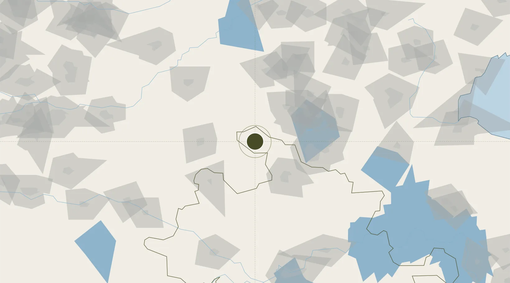
34.4351°, 116.4015°
800 ha
Zone area
280.2 km
Nearest port
80.8 km
Nearest airport
Gateway access
Zone profile
Zone type
Free Trade Zone
Region
Anhui
Status
Active
Management
Public
Operator
Dangshan Economic Development Zone Management Committee
Legal framework
Unavailable
Location
Nearby Logistics Neighbours
Ports
- 1Lanshan280 km
- 2Lianyungang281 km
- 3Rizhao307 km
- 4Nanjing341 km
- 5Yangzhou371 km
Airports
- 1Xuzhou Daguozhang Air Base81 km
- 2Shangqiu Air Base86 km
- 3Jining Qufu Airport96 km
- 4Heze Mudan Airport106 km
- 5Xuzhou Guanyin International Airport114 km
Cities
- 1Xiaoxian56 km
- 2Qingguji / Shangqiu64 km
- 3Heze86 km
- 4Zaozhuang95 km
- 5Jining106 km
DatabookThe Record of Consolidated Knowledge
China beyond logistics?