Runway & Layout

Runways · 1
| Runway | Dimensions | Surface | True heading | Lit |
|---|---|---|---|---|
| 18/36 | 8,530 × —ft | — | — | — |
Airport Specifications
IATA code
HZA
ICAO code
ZSHZ
Airport class
Medium airport
Scheduled service
Yes
Served city
Heze (Dingtao)
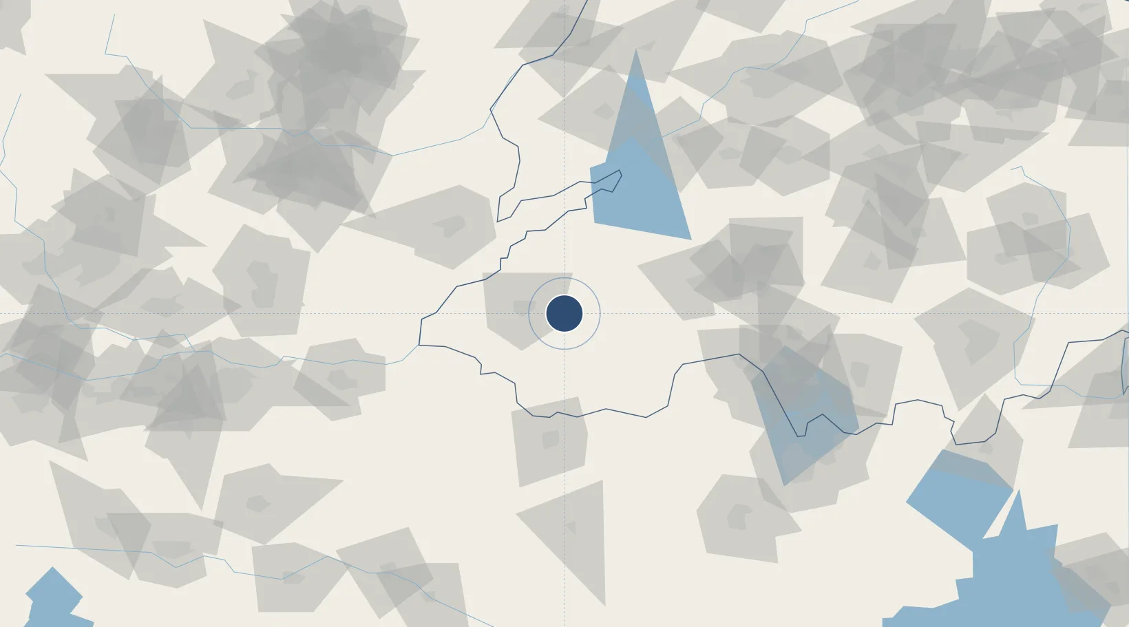
Location
Nearby Logistics Neighbours
Airports
- 1Jining Qufu Airport56 km
- 2Shangqiu Air Base89 km
- 3Jining Da'an Airport103 km
- 4Anyang Hongqiqu Airport137 km
- 5Kaifeng Air Base137 km
Cities
- 1Heze47 km
- 2Qingguji / Shangqiu59 km
- 3Jining76 km
- 4Puyang86 km
- 5Zhangqiu95 km
Ports
- 1Lanshan330 km
- 2Lianyungang343 km
- 3Rizhao348 km
- 4Qingdao Gang419 km
- 5Nanjing446 km
Trade Zones
DatabookThe Record of Consolidated Knowledge
China beyond logistics?