Diversified Zone · China

Yutai Economic Development Zone Active
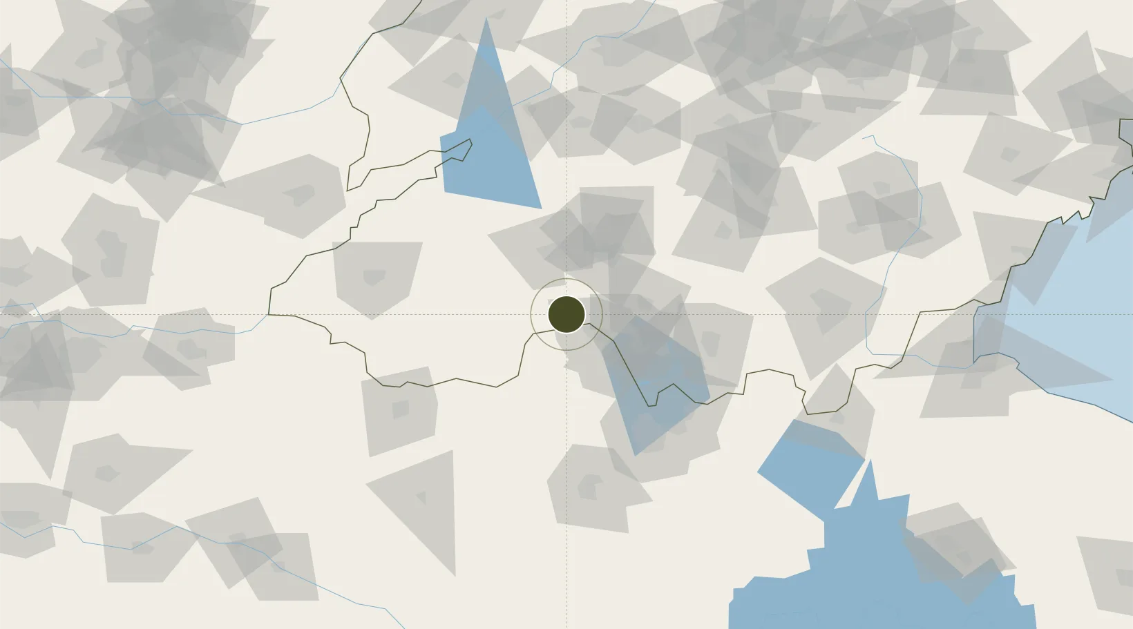
35.0178°, 116.6764°
6,200 ha
Zone area
245.0 km
Nearest port
42.8 km
Nearest airport

Gateway access

Nearest neighbours — logibook spatial index (haversine) over the source coordinates

Zone profile

Zone type
Diversified Zone
Open Zone Map
Region
Shandong
Open Zone Map
Status
Active
Open Zone Map
Management
Public
Open Zone Map
Operator
Management committee
Open Zone Map
Legal framework
It was founded in June 2002
Open Zone Map

Location

Location of ozm-960
Natural Earth 10m (public domain) · Shandong · ozm-960 · 35.02, 116.68GoogleOSMYandex

Nearby Logistics Neighbours

Ports
  1. 1Lanshan245 km
  2. 2Lianyungang255 km
  3. 3Rizhao266 km
  4. 4Qingdao Gang344 km
  5. 5Nanjing379 km
Nearest neighbours — logibook spatial index (haversine) over the source coordinates
Airports
  1. 1Jining Qufu Airport43 km
  2. 2Jining Da'an Airport70 km
  3. 3Heze Mudan Airport88 km
  4. 4Xuzhou Daguozhang Air Base102 km
  5. 5Shangqiu Air Base128 km
Nearest neighbours — logibook spatial index (haversine) over the source coordinates
Cities
  1. 1Jining42 km
  2. 2Zaozhuang64 km
  3. 3Qingguji / Shangqiu91 km
  4. 4Xiaoxian96 km
  5. 5Heze102 km
Nearest neighbours — logibook spatial index (haversine) over the source coordinates
Trade Zones
  1. 1Jinxiang Economic Development Zone34 km
  2. 2Peixian Economic Development Zone39 km
  3. 3Rencheng Economic Development Zone41 km
  4. 4Tengzhou Economic Development Zone46 km
  5. 5Zoucheng Economic Development Zone47 km
Nearest neighbours — logibook spatial index (haversine) over the source coordinates
DatabookThe Record of Consolidated Knowledge
China beyond logistics?
Browse databook

All Sources

Trade ZonesOpen Zone Map
CC BY
Portsthe NGA World Port Index
Public domain (US gov)
AirportsOurAirports
Public domain
LocationsUN/LOCODE
UN/LOCODE — free
← China trade zones