UN/LOCODE hub · China
CNDGL

Dongli ,Tianjing

39.0833°, 117.3000°
2
Transport functions

Transport Functions

Road
Multimodal
UN/LOCODE

Hub Profile

Region
TJ
GeoNames

Location

Location of CNDGL
Natural Earth 10m (public domain) · TJ · CNDGL · 39.08, 117.30GoogleOSMYandex

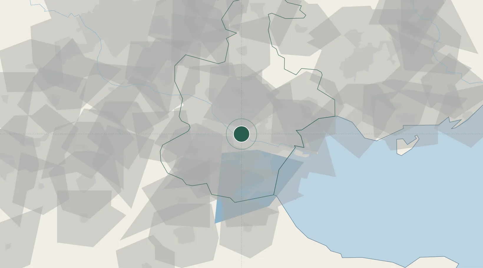
Nearby Logistics Neighbours

Cities
  1. 1Heping8 km
  2. 2Xiqing , Tianjing25 km
  3. 3Tanggu31 km
  4. 4Tianjin35 km
  5. 5Jinghai, Tianjing38 km
Nearest neighbours — logibook spatial index (haversine) over the source coordinates
Ports
  1. 1Tianjin Xin Gang48 km
  2. 2Tangshan (Jingtang)149 km
  3. 3Qinhuangdao220 km
  4. 4Longkou Gang306 km
  5. 5Penglai338 km
Nearest neighbours — logibook spatial index (haversine) over the source coordinates
Airports
  1. 1Tianjin Binhai International Airport6 km
  2. 2Yangcun Air Base37 km
  3. 3Tangguantun Air Base39 km
  4. 4Cangxian Air Base82 km
  5. 5Beijing Daxing International Airport89 km
Nearest neighbours — logibook spatial index (haversine) over the source coordinates
Trade Zones
  1. 1Junliangcheng Industrial Park14 km
  2. 2Jinnan Economic Development Zone17 km
  3. 3Tianjin High-tech Industrial Development Zone19 km
  4. 4Zhongbei Industrial Park20 km
  5. 5Shuangkou Industrial Park26 km
Nearest neighbours — logibook spatial index (haversine) over the source coordinates
DatabookThe Record of Consolidated Knowledge
China beyond logistics?
Browse databook

All Sources

LocationsUN/LOCODE
UN/LOCODE — free
Portsthe NGA World Port Index
Public domain (US gov)
AirportsOurAirports
Public domain
Trade Zonesthe World Bank SEZ database
CC BY 4.0
Trade ZonesOpen Zone Map
CC BY
← China locations