Transport Functions
Port
Hub Profile
Place type
Local administrative seat
Region
Fujian
Time zone
Asia/Shanghai
Elevation
41 m
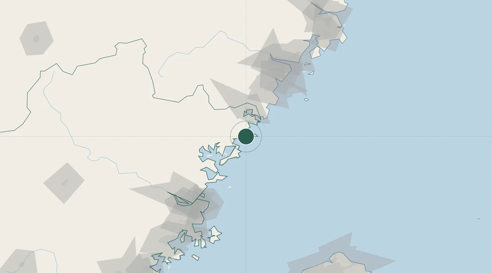
Location
Nearby Logistics Neighbours
Cities
- 1Haitian Terminal/ Xiamen20 km
- 2Xiangyu Terminal/ Xiamen21 km
- 3Binyang37 km
- 4Saiqi53 km
- 5Ningde67 km
Airports
- 1Matsu Beigan Airport82 km
- 2Matsu Nangan Airport90 km
- 3Fuzhou Changle International Airport124 km
- 4Wenzhou Longwan International Airport126 km
- 5Fuzhou Air Base137 km
Trade Zones
DatabookThe Record of Consolidated Knowledge
China beyond logistics?