UN/LOCODE hub · China
CNHHT

Haitian Terminal/ Xiamen

27.1000°, 120.3000°
3
Transport functions

Transport Functions

Port
Road
Multimodal
UN/LOCODE

Hub Profile

Region
FJ
GeoNames

Location

Location of CNHHT
Natural Earth 10m (public domain) · FJ · CNHHT · 27.10, 120.30GoogleOSMYandex

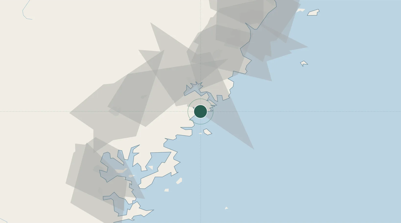
Nearby Logistics Neighbours

Cities
  1. 1Xiangyu Terminal/ Xiamen2 km
  2. 2Binyang17 km
  3. 3Sansha20 km
  4. 4Aojiang Pt56 km
  5. 5Saiqi63 km
Nearest neighbours — logibook spatial index (haversine) over the source coordinates
Ports
  1. 1Wenzhou108 km
  2. 2Fuzhou151 km
  3. 3Haimen209 km
  4. 4Tan-Shui240 km
  5. 5Xiuyu246 km
Nearest neighbours — logibook spatial index (haversine) over the source coordinates
Airports
  1. 1Matsu Beigan Airport102 km
  2. 2Wenzhou Longwan International Airport105 km
  3. 3Matsu Nangan Airport110 km
  4. 4Fuzhou Changle International Airport144 km
  5. 5Fuzhou Air Base157 km
Nearest neighbours — logibook spatial index (haversine) over the source coordinates
Trade Zones
  1. 1Fuding Industrial Park24 km
  2. 2Xiapu Economic Development Zone37 km
  3. 3Zherong Economic Development Zone42 km
  4. 4Fuan Economic Development Zone63 km
  5. 5Shouning Industrial Park87 km
Nearest neighbours — logibook spatial index (haversine) over the source coordinates
DatabookThe Record of Consolidated Knowledge
China beyond logistics?
Browse databook

All Sources

LocationsUN/LOCODE
UN/LOCODE — free
Portsthe NGA World Port Index
Public domain (US gov)
AirportsOurAirports
Public domain
Trade Zonesthe World Bank SEZ database
CC BY 4.0
Trade ZonesOpen Zone Map
CC BY
← China locations