Export Processing Zone · China

Nanchuan Industrial Park Active
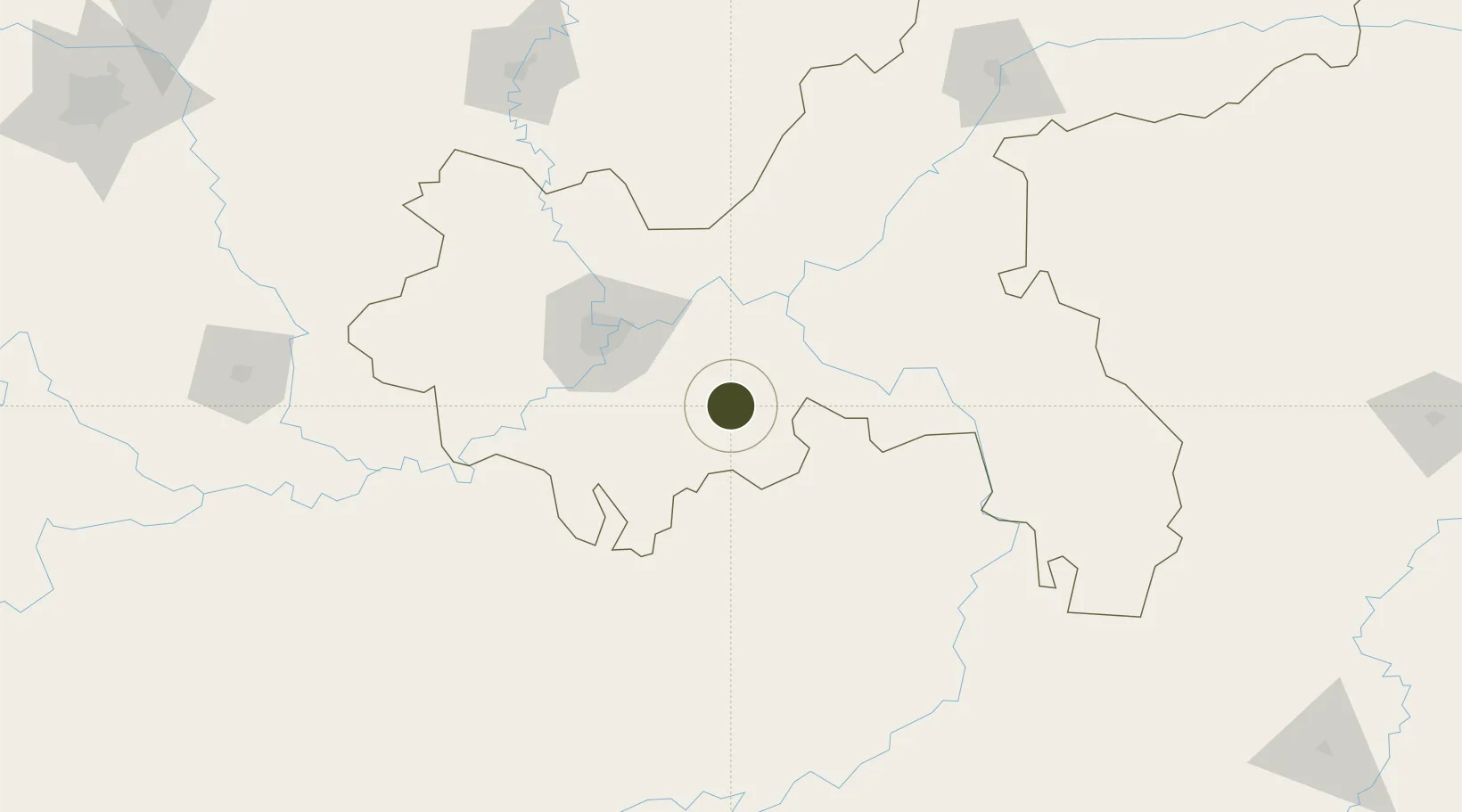
29.2047°, 107.1236°
354 ha
Zone area
706.9 km
Nearest port
62.4 km
Nearest airport

Gateway access

Nearest neighbours — logibook spatial index (haversine) over the source coordinates

Zone profile

Zone type
Export Processing Zone
Open Zone Map
Region
Chongqing
Open Zone Map
Status
Active
Open Zone Map
Management
Public
Open Zone Map
Operator
Nanchuan Industrial Park Management Committee
Open Zone Map
Legal framework
Unavailable
Open Zone Map

Location

Location of ozm-1106
Natural Earth 10m (public domain) · Chongqing · ozm-1106 · 29.20, 107.12GoogleOSMYandex

Nearby Logistics Neighbours

Ports
  1. 1Hankow707 km
  2. 2Fang-Cheng838 km
  3. 3Qinzhou844 km
  4. 4Beihai881 km
  5. 5Cam Pha909 km
Nearest neighbours — logibook spatial index (haversine) over the source coordinates
Airports
  1. 1Chongqing Xiannüshan Airport62 km
  2. 2Chongqing Jiangbei International Airport73 km
  3. 3Chongqing Baishiyi Air Base81 km
  4. 4Zunyi Maotai Airport154 km
  5. 5Zunyi Xinzhou Airport156 km
Nearest neighbours — logibook spatial index (haversine) over the source coordinates
Cities
  1. 1Fuling63 km
  2. 2Chongqing69 km
  3. 3Zunyi169 km
  4. 4Luzhou171 km
  5. 5Suining213 km
Nearest neighbours — logibook spatial index (haversine) over the source coordinates
Trade Zones
  1. 1Wansheng Industrial Park35 km
  2. 2Wulong Industrial Park40 km
  3. 3Qijiang Industrial Park50 km
  4. 4Banan Industrial Park53 km
  5. 5Baitao Industrial Park58 km
Nearest neighbours — logibook spatial index (haversine) over the source coordinates
DatabookThe Record of Consolidated Knowledge
China beyond logistics?
Browse databook

All Sources

Trade ZonesOpen Zone Map
CC BY
Portsthe NGA World Port Index
Public domain (US gov)
AirportsOurAirports
Public domain
LocationsUN/LOCODE
UN/LOCODE — free
← China trade zones