Transport Functions
Port
Hub Profile
Place type
Provincial seat
Region
Sichuan
Population
998,900
Time zone
Asia/Shanghai
Elevation
256 m
Logistics facilities
8
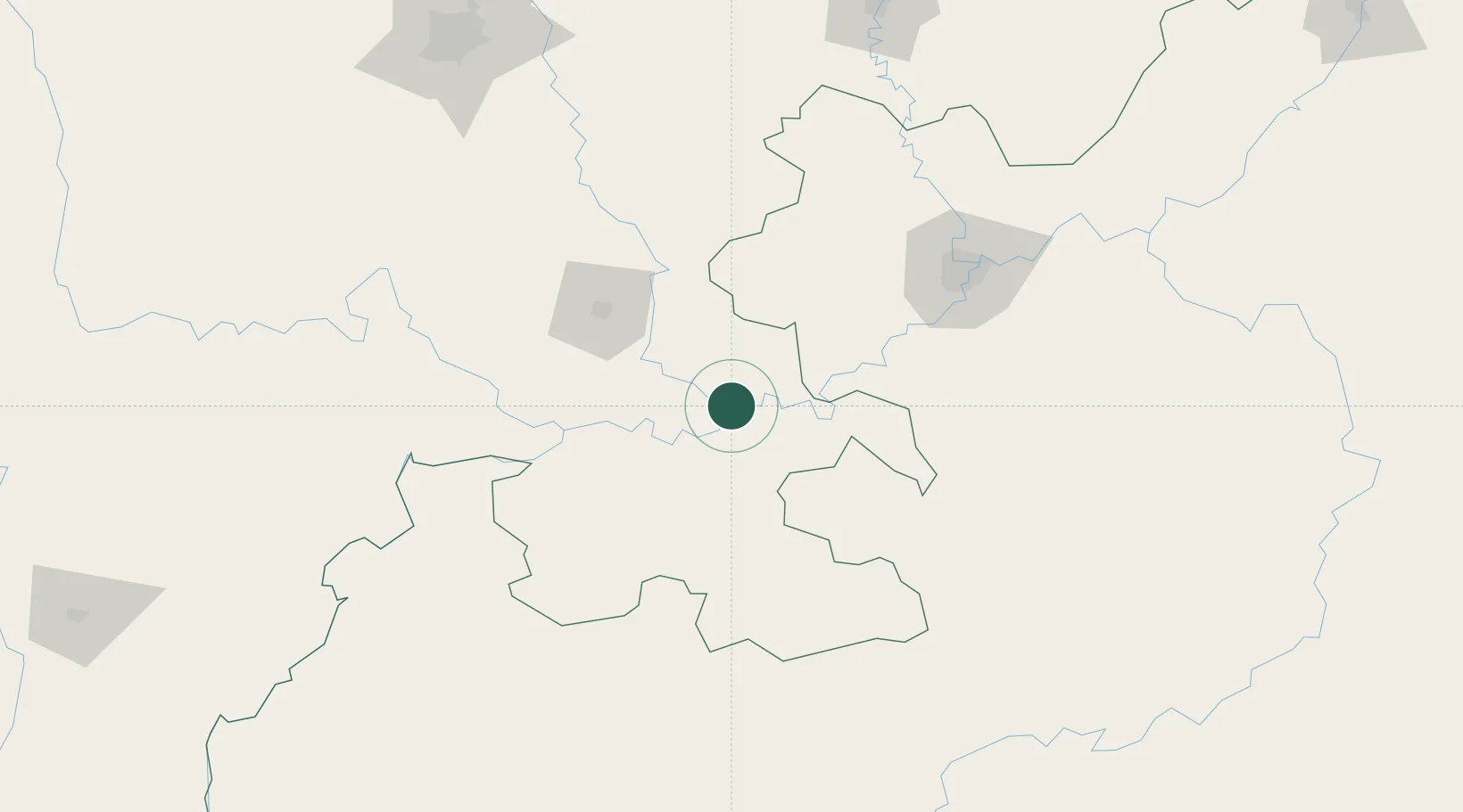
Location
Nearby Logistics Neighbours
Ports
- 1Fang-Cheng848 km
- 2Qinzhou859 km
- 3Cam Pha897 km
- 4Hai Phong897 km
- 5Hon Gai900 km
Airports
- 1Luzhou Yunlong Airport16 km
- 2Yibin Wuliangye Airport85 km
- 3Chongqing Baishiyi Air Base114 km
- 4Zunyi Maotai Airport145 km
- 5Chongqing Jiangbei International Airport151 km
DatabookThe Record of Consolidated Knowledge
China beyond logistics?