Diversified Zone · China

Qijiang Industrial Park Active
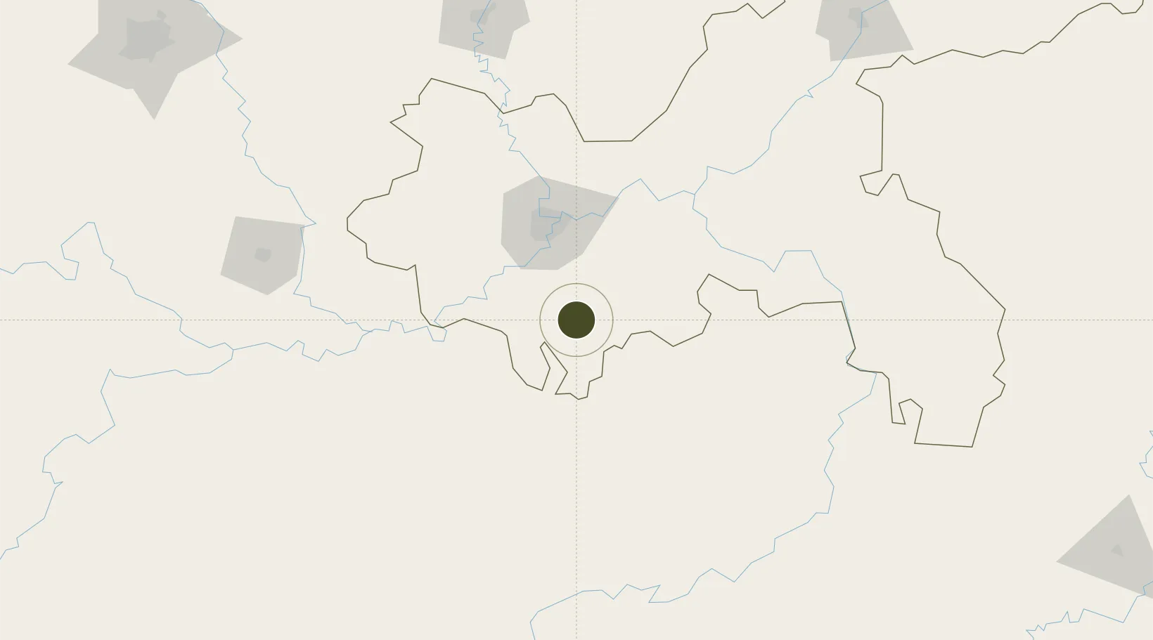
28.9655°, 106.6826°
801 ha
Zone area
755.1 km
Nearest port
66.8 km
Nearest airport

Gateway access

Nearest neighbours — logibook spatial index (haversine) over the source coordinates

Zone profile

Zone type
Diversified Zone
Open Zone Map
Region
Chongqing
Open Zone Map
Status
Active
Open Zone Map
Management
Public
Open Zone Map
Operator
Qijiang Industrial Park Management Committee
Open Zone Map
Legal framework
In December 2006, the provincial industrial park approved by the municipal government
Open Zone Map

Location

Location of ozm-623
Natural Earth 10m (public domain) · Chongqing · ozm-623 · 28.97, 106.68GoogleOSMYandex

Nearby Logistics Neighbours

Ports
  1. 1Hankow755 km
  2. 2Fang-Cheng820 km
  3. 3Qinzhou827 km
  4. 4Beihai866 km
  5. 5Cam Pha885 km
Nearest neighbours — logibook spatial index (haversine) over the source coordinates
Airports
  1. 1Chongqing Baishiyi Air Base67 km
  2. 2Chongqing Jiangbei International Airport83 km
  3. 3Chongqing Xiannüshan Airport113 km
  4. 4Zunyi Maotai Airport114 km
  5. 5Luzhou Yunlong Airport118 km
Nearest neighbours — logibook spatial index (haversine) over the source coordinates
Cities
  1. 1Chongqing73 km
  2. 2Fuling108 km
  3. 3Luzhou125 km
  4. 4Zunyi143 km
  5. 5Xiantan180 km
Nearest neighbours — logibook spatial index (haversine) over the source coordinates
Trade Zones
  1. 1Wansheng Industrial Park22 km
  2. 2Banan Industrial Park49 km
  3. 3Nanchuan Industrial Park50 km
  4. 4Xipeng Industrial Park51 km
  5. 5Jianqiao Industrial Park56 km
Nearest neighbours — logibook spatial index (haversine) over the source coordinates
DatabookThe Record of Consolidated Knowledge
China beyond logistics?
Browse databook

All Sources

Trade ZonesOpen Zone Map
CC BY
Portsthe NGA World Port Index
Public domain (US gov)
AirportsOurAirports
Public domain
LocationsUN/LOCODE
UN/LOCODE — free
← China trade zones