Medium airport · China

Zunyi Xinzhou AirportZUZY
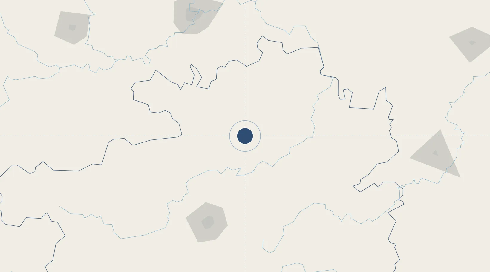
27.8107°, 107.2472°
9,186 ft
Longest runway
1
Runways
2,723 ft
Elevation

Runway & Layout

Zunyi Xinzhou Airport runway & taxiway layout
Runway & taxiway layout — OpenStreetMap (ODbL) / OurAirports

Runways · 1

RunwayDimensions SurfaceTrue headingLit
18/36 9,186 × —ft
OurAirports

Airport Specifications

IATA code
ZYI
OurAirports
ICAO code
ZUZY
OurAirports
Airport class
Medium airport
OurAirports
Scheduled service
Yes
OurAirports
Served city
Zunyi
OurAirports

Location

Location of ZUZY
Natural Earth 10m (public domain) · Guizhou · ZUZY · 27.81, 107.25GoogleOSMYandex

Nearby Logistics Neighbours

Airports
  1. 1Zunyi Maotai Airport82 km
  2. 2Tongren Dejiang Airport (Under Construction)96 km
  3. 3Jiuzhou Airport104 km
  4. 4Kaili Huangping Airport119 km
  5. 5Guiyang Longdongbao International Airport148 km
Nearest neighbours — logibook spatial index (haversine) over the source coordinates
Cities
  1. 1Zunyi35 km
  2. 2Guiyang147 km
  3. 3Kaili154 km
  4. 4Tongren191 km
  5. 5Jiangsi197 km
Nearest neighbours — logibook spatial index (haversine) over the source coordinates
Ports
  1. 1Fang-Cheng683 km
  2. 2Qinzhou689 km
  3. 3Beihai727 km
  4. 4Cam Pha754 km
  5. 5Hon Gai763 km
Nearest neighbours — logibook spatial index (haversine) over the source coordinates
Trade Zones
  1. 1Wansheng Industrial Park132 km
  2. 2Qijiang Industrial Park140 km
  3. 3Weicheng Economic Development Zone154 km
  4. 4Nanchuan Industrial Park156 km
  5. 5Hejiang Lingang Industrial Park173 km
Nearest neighbours — logibook spatial index (haversine) over the source coordinates
DatabookThe Record of Consolidated Knowledge
China beyond logistics?
Browse databook

All Sources

AirportsOurAirports
Public domain
Portsthe NGA World Port Index
Public domain (US gov)
LocationsUN/LOCODE
UN/LOCODE — free
Trade Zonesthe World Bank SEZ database
CC BY 4.0
Trade ZonesOpen Zone Map
CC BY
InfrastructureOpenStreetMap
ODbL 1.0
← China airports