Large airport · China

Chongqing Jiangbei International AirportZUCK
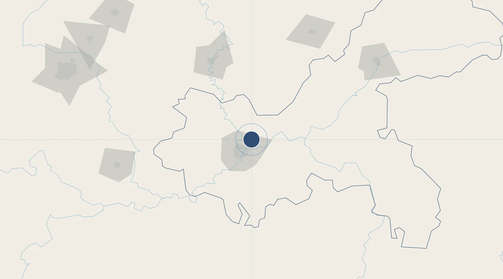
29.7123°, 106.6519°
12,467 ft
Longest runway
4
Runways
1,365 ft
Elevation

Runway & Layout

Chongqing Jiangbei International Airport runway & taxiway layout
Runway & taxiway layout — OpenStreetMap (ODbL) / OurAirports

Radio Frequencies

ATIS
126.4 MHz
TWR
118.2 MHz
CHONGQING TWR
GND
121.75 MHz
CHONGQING GND
APP
125.2 MHz
CHONGQING APP
OurAirports

Navaids

CKG VOR-DME Chongqing 116.10 MHz
OS NDB Tongjingchang 241 kHz
WX NDB Changshengqiao 306 kHz
OurAirports

Runways · 4

RunwayDimensions SurfaceTrue headingLit
03L/21R 12,467 × 197ft Concrete
02R/20L 11,811 × 148ft Concrete 019°
03R/21L 11,154 × 148ft CONC 017°
02L/20R 10,499 × 148ft Concrete 017°
OurAirports

Airport Specifications

IATA code
CKG
OurAirports
ICAO code
ZUCK
OurAirports
Airport class
Large airport
OurAirports
Scheduled service
Yes
OurAirports
Runway surface
Concrete
OurAirports
Served city
Chongqing
OurAirports

Location

Location of ZUCK
Natural Earth 10m (public domain) · Chongqing · ZUCK · 29.71, 106.65GoogleOSMYandex

Nearby Logistics Neighbours

Airports
  1. 1Chongqing Baishiyi Air Base37 km
  2. 2Chongqing Xiannüshan Airport104 km
  3. 3Nanchong Gaoping Airport130 km
  4. 4Luzhou Yunlong Airport138 km
  5. 5Dazhou Jinya Airport167 km
Nearest neighbours — logibook spatial index (haversine) over the source coordinates
Cities
  1. 1Chongqing12 km
  2. 2Fuling70 km
  3. 3Suining141 km
  4. 4Luzhou151 km
  5. 5Xiantan176 km
Nearest neighbours — logibook spatial index (haversine) over the source coordinates
Ports
  1. 1Hankow740 km
  2. 2Fang-Cheng902 km
  3. 3Qinzhou908 km
  4. 4Beihai946 km
  5. 5Cam Pha968 km
Nearest neighbours — logibook spatial index (haversine) over the source coordinates
Trade Zones
  1. 1Gangcheng Industrial Park10 km
  2. 2Tongxing Industrial Park18 km
  3. 3Chongqing New North Zone (CNNZ)19 km
  4. 4Xiyong Microelectronics Industrial Park29 km
  5. 5Banan Industrial Park35 km
Nearest neighbours — logibook spatial index (haversine) over the source coordinates
DatabookThe Record of Consolidated Knowledge
China beyond logistics?
Browse databook

All Sources

AirportsOurAirports
Public domain
Portsthe NGA World Port Index
Public domain (US gov)
LocationsUN/LOCODE
UN/LOCODE — free
Trade Zonesthe World Bank SEZ database
CC BY 4.0
Trade ZonesOpen Zone Map
CC BY
InfrastructureOpenStreetMap
ODbL 1.0
← China airports