Runway & Layout

Airport Specifications
Airport class
Medium airport
Scheduled service
No
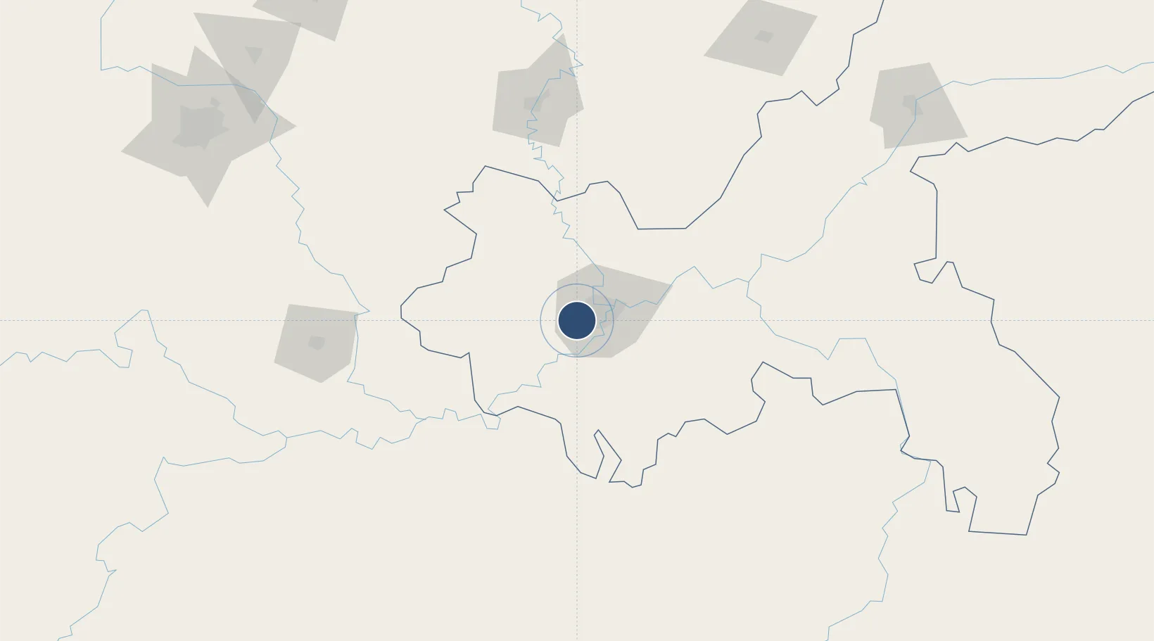
Served city
Chongqing
Location
Nearby Logistics Neighbours
Airports
- 1Chongqing Jiangbei International Airport37 km
- 2Luzhou Yunlong Airport101 km
- 3Chongqing Xiannüshan Airport129 km
- 4Nanchong Gaoping Airport146 km
- 5Zunyi Maotai Airport171 km
Ports
- 1Hankow772 km
- 2Fang-Cheng884 km
- 3Qinzhou891 km
- 4Beihai931 km
- 5Cam Pha946 km
Trade Zones
DatabookThe Record of Consolidated Knowledge
China beyond logistics?