Medium airport · China

Zunyi Maotai AirportZUMT
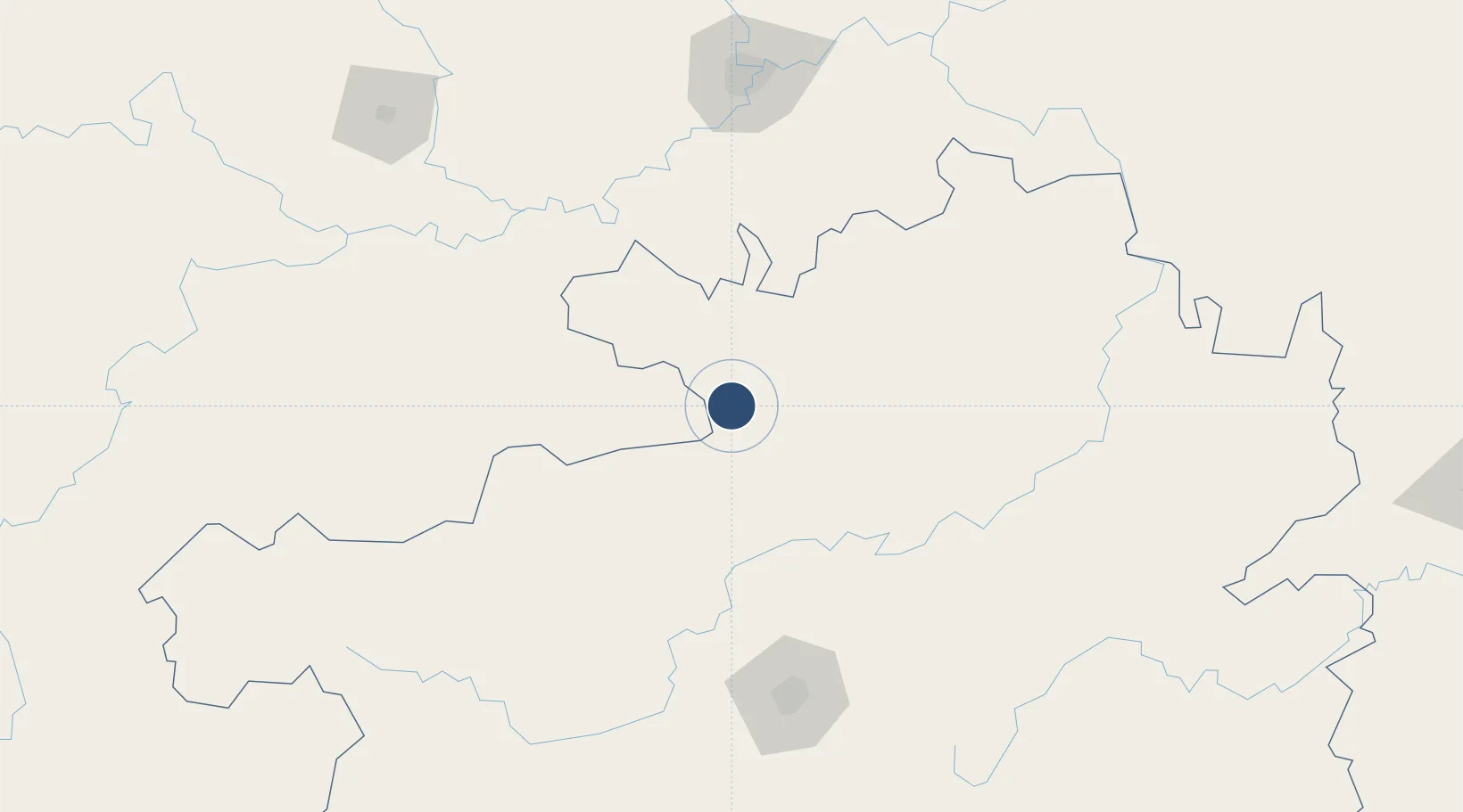
27.9618°, 106.4354°
8,530 ft
Longest runway
1
Runways
4,068 ft
Elevation

Runway & Layout

Zunyi Maotai Airport runway & taxiway layout
Runway & taxiway layout — OpenStreetMap (ODbL) / OurAirports

Runways · 1

RunwayDimensions SurfaceTrue headingLit
17/35 8,530 × 148ft
OurAirports

Airport Specifications

IATA code
WMT
OurAirports
ICAO code
ZUMT
OurAirports
Airport class
Medium airport
OurAirports
Scheduled service
Yes
OurAirports
Served city
Zunyi
OurAirports

Location

Location of ZUMT
Natural Earth 10m (public domain) · Guizhou · ZUMT · 27.96, 106.44GoogleOSMYandex

Nearby Logistics Neighbours

Airports
  1. 1Zunyi Xinzhou Airport82 km
  2. 2Bijie Feixiong Airport122 km
  3. 3Luzhou Yunlong Airport152 km
  4. 4Guiyang Longdongbao International Airport162 km
  5. 5Jiuzhou Airport169 km
Nearest neighbours — logibook spatial index (haversine) over the source coordinates
Cities
  1. 1Zunyi56 km
  2. 2Luzhou145 km
  3. 3Guiyang156 km
  4. 4Chongqing185 km
  5. 5Anshun197 km
Nearest neighbours — logibook spatial index (haversine) over the source coordinates
Ports
  1. 1Fang-Cheng717 km
  2. 2Qinzhou726 km
  3. 3Beihai768 km
  4. 4Cam Pha776 km
  5. 5Hon Gai782 km
Nearest neighbours — logibook spatial index (haversine) over the source coordinates
Trade Zones
  1. 1Xuyong Resource Comprehensive Utilization Economic Park101 km
  2. 2Hejiang Lingang Industrial Park110 km
  3. 3Qijiang Industrial Park114 km
  4. 4Wansheng Industrial Park120 km
  5. 5Xipeng Industrial Park149 km
Nearest neighbours — logibook spatial index (haversine) over the source coordinates
DatabookThe Record of Consolidated Knowledge
China beyond logistics?
Browse databook

All Sources

AirportsOurAirports
Public domain
Portsthe NGA World Port Index
Public domain (US gov)
LocationsUN/LOCODE
UN/LOCODE — free
Trade Zonesthe World Bank SEZ database
CC BY 4.0
Trade ZonesOpen Zone Map
CC BY
InfrastructureOpenStreetMap
ODbL 1.0
← China airports