Diversified Zone · China

Baitao Industrial Park Active
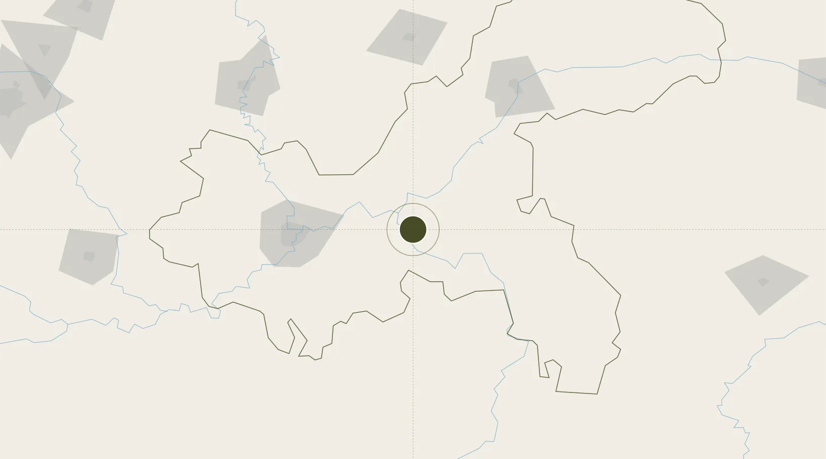
29.5881°, 107.5255°
1,500 ha
Zone area
659.4 km
Nearest port
21.2 km
Nearest airport

Gateway access

Nearest neighbours — logibook spatial index (haversine) over the source coordinates

Zone profile

Zone type
Diversified Zone
Open Zone Map
Region
Chongqing
Open Zone Map
Status
Active
Open Zone Map
Management
Public
Open Zone Map
Operator
Working Committee of Baitao Industrial Park
Open Zone Map
Legal framework
Development Development Commission issued [2020] No. 602
Open Zone Map

Location

Location of ozm-769
Natural Earth 10m (public domain) · Chongqing · ozm-769 · 29.59, 107.53GoogleOSMYandex

Nearby Logistics Neighbours

Ports
  1. 1Hankow659 km
  2. 2Fang-Cheng876 km
  3. 3Qinzhou880 km
  4. 4Beihai914 km
  5. 5Guangzhou917 km
Nearest neighbours — logibook spatial index (haversine) over the source coordinates
Airports
  1. 1Chongqing Xiannüshan Airport21 km
  2. 2Chongqing Jiangbei International Airport86 km
  3. 3Chongqing Baishiyi Air Base113 km
  4. 4Qianjiang Wulingshan Airport127 km
  5. 5Wanzhou Wuqiao Airport161 km
Nearest neighbours — logibook spatial index (haversine) over the source coordinates
Cities
  1. 1Fuling21 km
  2. 2Chongqing90 km
  3. 3Enshi204 km
  4. 4Zunyi218 km
  5. 5Jiangsi218 km
Nearest neighbours — logibook spatial index (haversine) over the source coordinates
Trade Zones
  1. 1Wulong Industrial Park25 km
  2. 2Fuling Industrial Park26 km
  3. 3Fengdu Industrial Park45 km
  4. 4Chongqing Chemical Industrial Park57 km
  5. 5Changshou Industrial Park57 km
Nearest neighbours — logibook spatial index (haversine) over the source coordinates
DatabookThe Record of Consolidated Knowledge
China beyond logistics?
Browse databook

All Sources

Trade ZonesOpen Zone Map
CC BY
Portsthe NGA World Port Index
Public domain (US gov)
AirportsOurAirports
Public domain
LocationsUN/LOCODE
UN/LOCODE — free
← China trade zones