Transport Functions
Port
Hub Profile
Place type
District seat
Region
Sichuan
Population
656,760
Time zone
Asia/Shanghai
Elevation
291 m
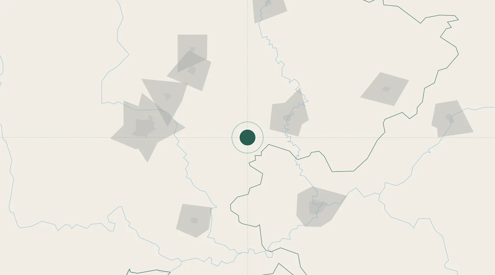
Location
Nearby Logistics Neighbours
Cities
- 1Ziyang99 km
- 2Tianfu, Chengdu107 km
- 3Deyang127 km
- 4Mianyang134 km
- 5Chongqing144 km
Ports
- 1Hankow838 km
- 2Fang-Cheng1016 km
- 3Qinzhou1025 km
- 4Beihai1066 km
- 5Cam Pha1072 km
Airports
- 1Nanchong Gaoping Airport67 km
- 2Chengdu Huaizhou Airport97 km
- 3Chengdu Tianfu International Airport108 km
- 4Langzhong Gucheng Airport118 km
- 5Guanghan Airport124 km
DatabookThe Record of Consolidated Knowledge
China beyond logistics?