Free Trade Zone · China

Wansheng Industrial Park Active
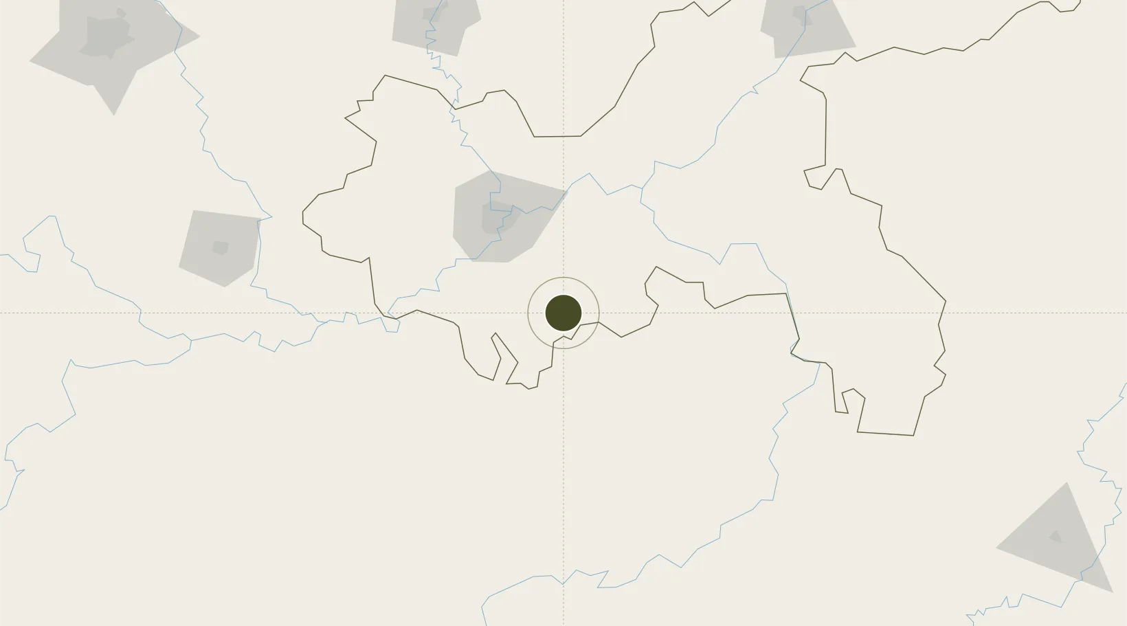
28.9555°, 106.9111°
1,000 ha
Zone area
734.1 km
Nearest port
80.5 km
Nearest airport

Gateway access

Nearest neighbours — logibook spatial index (haversine) over the source coordinates

Zone profile

Zone type
Free Trade Zone
Open Zone Map
Region
Chongqing
Open Zone Map
Status
Active
Open Zone Map
Management
Public
Open Zone Map
Operator
Working Committee of Wansheng Industrial Park
Open Zone Map
Legal framework
The planning scheme of Chongqing South Circular Economy Project Law of the People's Republic of China on Urban and Rural Planning, Regulations of Chongqing On Urban and Rural Planning
Open Zone Map

Location

Location of ozm-1538
Natural Earth 10m (public domain) · Chongqing · ozm-1538 · 28.96, 106.91GoogleOSMYandex

Nearby Logistics Neighbours

Ports
  1. 1Hankow734 km
  2. 2Fang-Cheng814 km
  3. 3Qinzhou820 km
  4. 4Beihai859 km
  5. 5Cam Pha882 km
Nearest neighbours — logibook spatial index (haversine) over the source coordinates
Airports
  1. 1Chongqing Baishiyi Air Base81 km
  2. 2Chongqing Jiangbei International Airport88 km
  3. 3Chongqing Xiannüshan Airport95 km
  4. 4Zunyi Maotai Airport120 km
  5. 5Zunyi Xinzhou Airport132 km
Nearest neighbours — logibook spatial index (haversine) over the source coordinates
Cities
  1. 1Chongqing80 km
  2. 2Fuling97 km
  3. 3Zunyi140 km
  4. 4Luzhou147 km
  5. 5Xiantan201 km
Nearest neighbours — logibook spatial index (haversine) over the source coordinates
Trade Zones
  1. 1Qijiang Industrial Park22 km
  2. 2Nanchuan Industrial Park35 km
  3. 3Banan Industrial Park57 km
  4. 4Xipeng Industrial Park68 km
  5. 5Jianqiao Industrial Park69 km
Nearest neighbours — logibook spatial index (haversine) over the source coordinates
DatabookThe Record of Consolidated Knowledge
China beyond logistics?
Browse databook

All Sources

Trade ZonesOpen Zone Map
CC BY
Portsthe NGA World Port Index
Public domain (US gov)
AirportsOurAirports
Public domain
LocationsUN/LOCODE
UN/LOCODE — free
← China trade zones