Export Processing Zone · China

Banan Industrial Park Active
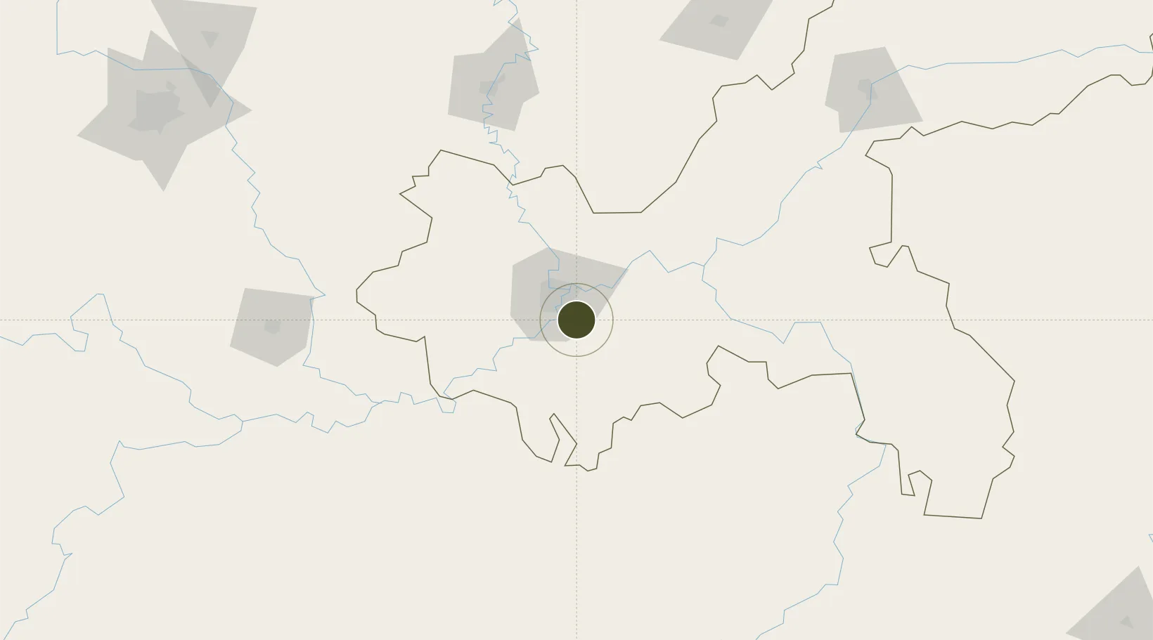
29.4009°, 106.6263°
965 ha
Zone area
748.9 km
Nearest port
27.9 km
Nearest airport

Gateway access

Nearest neighbours — logibook spatial index (haversine) over the source coordinates

Zone profile

Zone type
Export Processing Zone
Open Zone Map
Region
Chongqing
Open Zone Map
Status
Active
Open Zone Map
Management
Private
Open Zone Map
Operator
Chongqing Banan Economic Park Investment Industrial Co., Ltd.
Open Zone Map
Legal framework
Unavailable
Open Zone Map

Location

Location of ozm-1242
Natural Earth 10m (public domain) · Chongqing · ozm-1242 · 29.40, 106.63GoogleOSMYandex

Nearby Logistics Neighbours

Ports
  1. 1Hankow749 km
  2. 2Fang-Cheng868 km
  3. 3Qinzhou875 km
  4. 4Beihai914 km
  5. 5Cam Pha933 km
Nearest neighbours — logibook spatial index (haversine) over the source coordinates
Airports
  1. 1Chongqing Baishiyi Air Base28 km
  2. 2Chongqing Jiangbei International Airport35 km
  3. 3Chongqing Xiannüshan Airport104 km
  4. 4Luzhou Yunlong Airport120 km
  5. 5Zunyi Maotai Airport161 km
Nearest neighbours — logibook spatial index (haversine) over the source coordinates
Cities
  1. 1Chongqing24 km
  2. 2Fuling81 km
  3. 3Luzhou132 km
  4. 4Suining164 km
  5. 5Xiantan169 km
Nearest neighbours — logibook spatial index (haversine) over the source coordinates
Trade Zones
  1. 1Jianqiao Industrial Park19 km
  2. 2Gangcheng Industrial Park25 km
  3. 3Chongqing New North Zone (CNNZ)29 km
  4. 4Xipeng Industrial Park31 km
  5. 5Xiyong Microelectronics Industrial Park33 km
Nearest neighbours — logibook spatial index (haversine) over the source coordinates
DatabookThe Record of Consolidated Knowledge
China beyond logistics?
Browse databook

All Sources

Trade ZonesOpen Zone Map
CC BY
Portsthe NGA World Port Index
Public domain (US gov)
AirportsOurAirports
Public domain
LocationsUN/LOCODE
UN/LOCODE — free
← China trade zones