UN/LOCODE hub · China
CNCQI
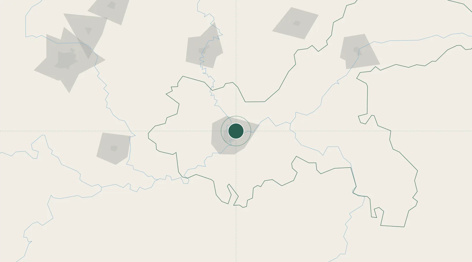
Chongqing
29.6181°, 106.5917°
7,457,599
Population
4
Transport functions
1
Container terminals
Transport Functions
Port
Rail
Airport
Postal
Hub Profile
Place type
Regional capital
Region
Chongqing
Population
7,457,599
Time zone
Asia/Shanghai
Elevation
289 m
Logistics facilities
3
Container terminals
1
Location
Nearby Logistics Neighbours
DatabookThe Record of Consolidated Knowledge
China beyond logistics?