Medium airport · China

Chongqing Xiannüshan AirportZUWL
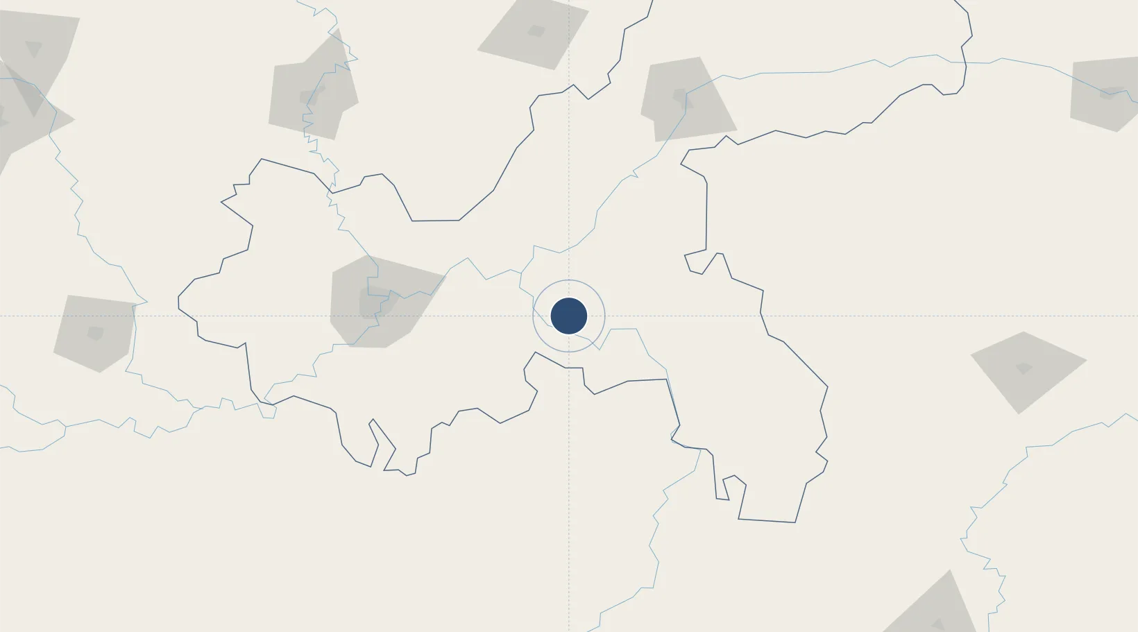
29.4657°, 107.6937°
9,186 ft
Longest runway
1
Runways
1,747 ft
Elevation

Runway & Layout

Chongqing Xiannüshan Airport runway & taxiway layout
Runway & taxiway layout — OpenStreetMap (ODbL) / OurAirports

Runways · 1

RunwayDimensions SurfaceTrue headingLit
01/19 9,186 × —ft Asphalt
OurAirports

Airport Specifications

IATA code
CQW
OurAirports
ICAO code
ZUWL
OurAirports
Airport class
Medium airport
OurAirports
Scheduled service
Yes
OurAirports
Runway surface
Asphalt
OurAirports
Served city
Wulong
OurAirports

Location

Location of ZUWL
Natural Earth 10m (public domain) · Chongqing · ZUWL · 29.47, 107.69GoogleOSMYandex

Nearby Logistics Neighbours

Airports
  1. 1Chongqing Jiangbei International Airport104 km
  2. 2Qianjiang Wulingshan Airport110 km
  3. 3Chongqing Baishiyi Air Base129 km
  4. 4Tongren Dejiang Airport (Under Construction)156 km
  5. 5Wanzhou Wuqiao Airport165 km
Nearest neighbours — logibook spatial index (haversine) over the source coordinates
Cities
  1. 1Fuling42 km
  2. 2Chongqing108 km
  3. 3Enshi195 km
  4. 4Jiangsi197 km
  5. 5Zunyi211 km
Nearest neighbours — logibook spatial index (haversine) over the source coordinates
Ports
  1. 1Hankow646 km
  2. 2Fang-Cheng861 km
  3. 3Qinzhou864 km
  4. 4Guangzhou896 km
  5. 5Beihai898 km
Nearest neighbours — logibook spatial index (haversine) over the source coordinates
Trade Zones
  1. 1Baitao Industrial Park21 km
  2. 2Wulong Industrial Park22 km
  3. 3Fuling Industrial Park47 km
  4. 4Fengdu Industrial Park52 km
  5. 5Pengshui Industrial Park59 km
Nearest neighbours — logibook spatial index (haversine) over the source coordinates
DatabookThe Record of Consolidated Knowledge
China beyond logistics?
Browse databook

All Sources

AirportsOurAirports
Public domain
Portsthe NGA World Port Index
Public domain (US gov)
LocationsUN/LOCODE
UN/LOCODE — free
Trade Zonesthe World Bank SEZ database
CC BY 4.0
Trade ZonesOpen Zone Map
CC BY
InfrastructureOpenStreetMap
ODbL 1.0
← China airports