Export Processing Zone · China

Hejiang Lingang Industrial Park Active
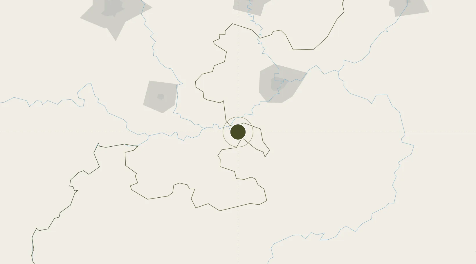
28.8398°, 105.9167°
302 ha
Zone area
825.4 km
Nearest port
48.5 km
Nearest airport

Gateway access

Nearest neighbours — logibook spatial index (haversine) over the source coordinates

Zone profile

Zone type
Export Processing Zone
Open Zone Map
Region
Sichuan
Open Zone Map
Status
Active
Open Zone Map
Management
Public
Open Zone Map
Operator
Hejiang Lingang Industrial Park Management Committee
Open Zone Map
Legal framework
Since 2006
Open Zone Map

Location

Location of ozm-1094
Natural Earth 10m (public domain) · Sichuan · ozm-1094 · 28.84, 105.92GoogleOSMYandex

Nearby Logistics Neighbours

Ports
  1. 1Fang-Cheng825 km
  2. 2Qinzhou834 km
  3. 3Beihai877 km
  4. 4Cam Pha880 km
  5. 5Hai Phong884 km
Nearest neighbours — logibook spatial index (haversine) over the source coordinates
Airports
  1. 1Luzhou Yunlong Airport49 km
  2. 2Chongqing Baishiyi Air Base85 km
  3. 3Zunyi Maotai Airport110 km
  4. 4Chongqing Jiangbei International Airport120 km
  5. 5Yibin Wuliangye Airport135 km
Nearest neighbours — logibook spatial index (haversine) over the source coordinates
Cities
  1. 1Luzhou51 km
  2. 2Chongqing109 km
  3. 3Xiantan114 km
  4. 4Yibin126 km
  5. 5Zigong127 km
Nearest neighbours — logibook spatial index (haversine) over the source coordinates
Trade Zones
  1. 1Yongchuan High-Tech Industrial Development Zone58 km
  2. 2Xipeng Industrial Park65 km
  3. 3Rongchang High-Tech Industrial Development Zone69 km
  4. 4Shuangqiao Industrial Park75 km
  5. 5Qijiang Industrial Park76 km
Nearest neighbours — logibook spatial index (haversine) over the source coordinates
DatabookThe Record of Consolidated Knowledge
China beyond logistics?
Browse databook

All Sources

Trade ZonesOpen Zone Map
CC BY
Portsthe NGA World Port Index
Public domain (US gov)
AirportsOurAirports
Public domain
LocationsUN/LOCODE
UN/LOCODE — free
← China trade zones