Medium airport · China

Luzhou Yunlong AirportZULZ
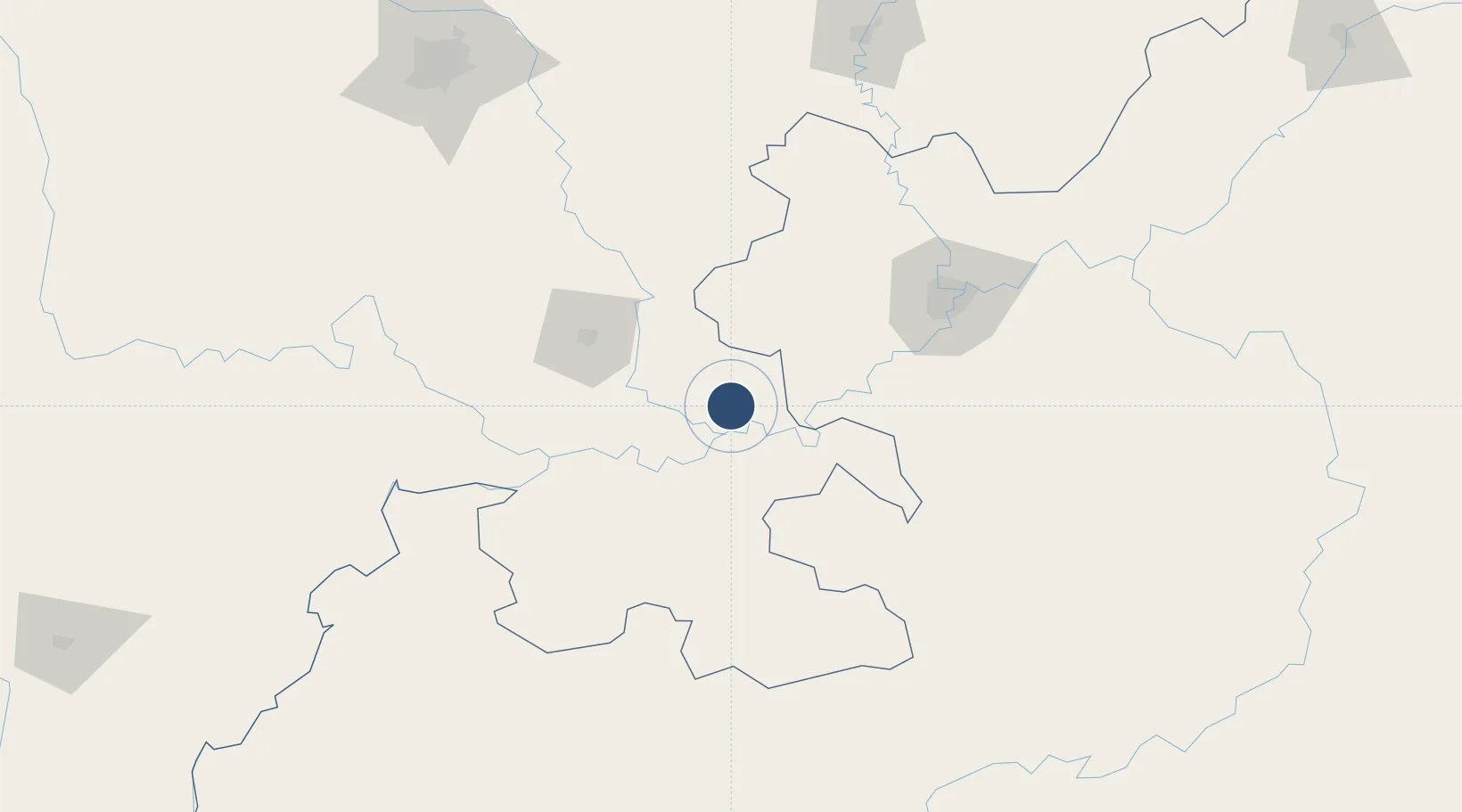
29.0304°, 105.4684°
8,858 ft
Longest runway
1
Runways

Runway & Layout

Luzhou Yunlong Airport runway & taxiway layout
Runway & taxiway layout — OpenStreetMap (ODbL) / OurAirports

Runways · 1

RunwayDimensions SurfaceTrue headingLit
07/25 8,858 × —ft
OurAirports

Airport Specifications

IATA code
LZO
OurAirports
ICAO code
ZULZ
OurAirports
Airport class
Medium airport
OurAirports
Scheduled service
Yes
OurAirports
Served city
Luzhou (Yunlong)
OurAirports

Location

Location of ZULZ
Natural Earth 10m (public domain) · Sichuan · ZULZ · 29.03, 105.47GoogleOSMYandex

Nearby Logistics Neighbours

Airports
  1. 1Yibin Wuliangye Airport94 km
  2. 2Chongqing Baishiyi Air Base101 km
  3. 3Chongqing Jiangbei International Airport138 km
  4. 4Zunyi Maotai Airport152 km
  5. 5Chengdu Tianfu International Airport174 km
Nearest neighbours — logibook spatial index (haversine) over the source coordinates
Cities
  1. 1Luzhou16 km
  2. 2Xiantan66 km
  3. 3Zigong79 km
  4. 4Yibin87 km
  5. 5Chongqing127 km
Nearest neighbours — logibook spatial index (haversine) over the source coordinates
Ports
  1. 1Fang-Cheng860 km
  2. 2Qinzhou870 km
  3. 3Cam Pha910 km
  4. 4Hai Phong911 km
  5. 5Hon Gai913 km
Nearest neighbours — logibook spatial index (haversine) over the source coordinates
DatabookThe Record of Consolidated Knowledge
China beyond logistics?
Browse databook

All Sources

AirportsOurAirports
Public domain
Portsthe NGA World Port Index
Public domain (US gov)
LocationsUN/LOCODE
UN/LOCODE — free
Trade Zonesthe World Bank SEZ database
CC BY 4.0
Trade ZonesOpen Zone Map
CC BY
InfrastructureOpenStreetMap
ODbL 1.0
← China airports