Transport Functions
Rail
Road
Multimodal
Hub Profile
Place type
Populated place
Region
Sichuan
Population
1,262,064
Time zone
Asia/Shanghai
Elevation
306 m
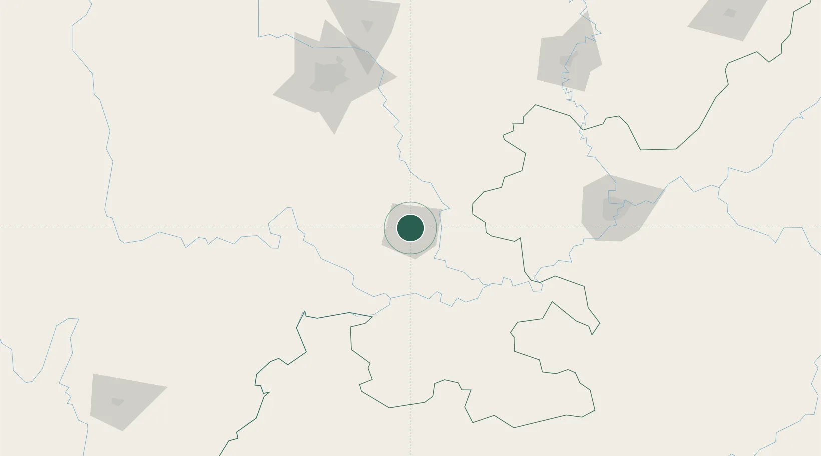
Location
Nearby Logistics Neighbours
Ports
- 1Fang-Cheng922 km
- 2Qinzhou933 km
- 3Hai Phong961 km
- 4Cam Pha965 km
- 5Hon Gai966 km
Airports
DatabookThe Record of Consolidated Knowledge
China beyond logistics?