Transport Functions
Port
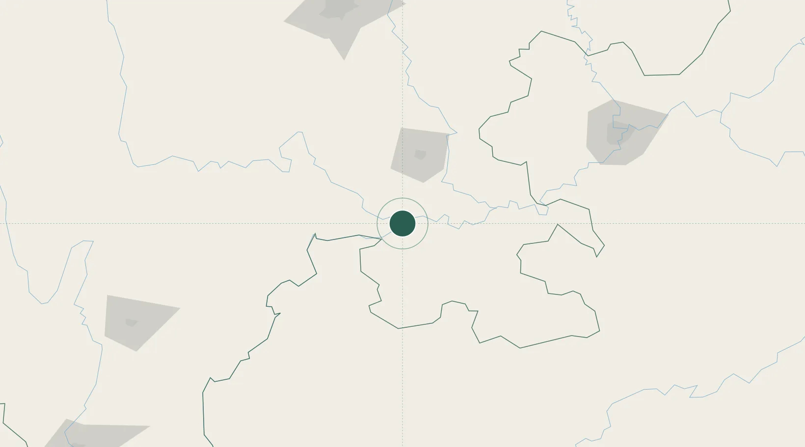
Hub Profile
Place type
District seat
Region
Sichuan
Population
836,340
Time zone
Asia/Shanghai
Elevation
323 m
Logistics facilities
2
Location
Nearby Logistics Neighbours
Cities
- 1Xiantan68 km
- 2Zigong70 km
- 3Luzhou77 km
- 4Vietnam Lee & Man Port93 km
- 5Leshan127 km
Ports
- 1Fang-Cheng865 km
- 2Qinzhou877 km
- 3Hai Phong897 km
- 4Cam Pha903 km
- 5Hon Gai903 km
Airports
- 1Yibin Wuliangye Airport15 km
- 2Luzhou Yunlong Airport87 km
- 3Chengdu Tianfu International Airport173 km
- 4Zhaotong Airport181 km
- 5Bijie Feixiong Airport186 km
DatabookThe Record of Consolidated Knowledge
China beyond logistics?