Medium airport · China

Yibin Wuliangye AirportZUYB
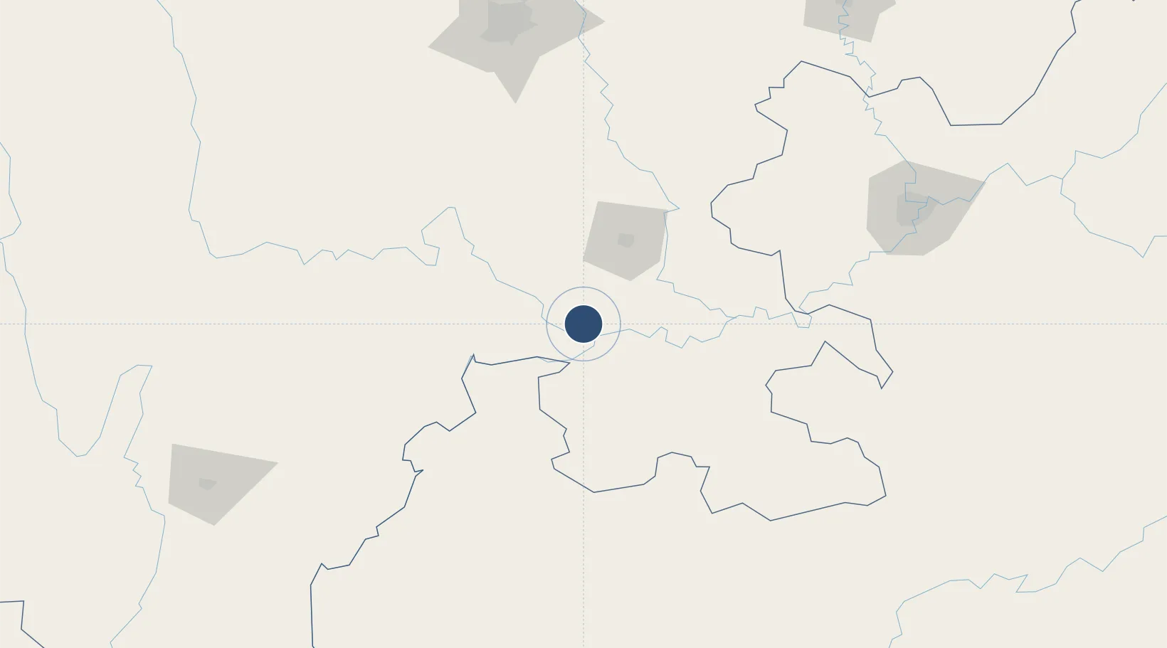
28.8584°, 104.5262°
8,530 ft
Longest runway
1
Runways
1,378 ft
Elevation

Runway & Layout

Yibin Wuliangye Airport runway & taxiway layout
Runway & taxiway layout — OpenStreetMap (ODbL) / OurAirports

Runways · 1

RunwayDimensions SurfaceTrue headingLit
11/29 8,530 × —ft
OurAirports

Airport Specifications

IATA code
YBP
OurAirports
ICAO code
ZUYB
OurAirports
Airport class
Medium airport
OurAirports
Scheduled service
Yes
OurAirports
Served city
Yibin (Cuiping)
OurAirports

Location

Location of ZUYB
Natural Earth 10m (public domain) · Sichuan · ZUYB · 28.86, 104.53GoogleOSMYandex

Nearby Logistics Neighbours

Airports
  1. 1Luzhou Yunlong Airport94 km
  2. 2Chengdu Tianfu International Airport162 km
  3. 3Zhaotong Airport186 km
  4. 4Chongqing Baishiyi Air Base192 km
  5. 5Chengdu Shuangliu International Airport197 km
Nearest neighbours — logibook spatial index (haversine) over the source coordinates
Cities
  1. 1Yibin15 km
  2. 2Zigong63 km
  3. 3Xiantan63 km
  4. 4Luzhou85 km
  5. 5Vietnam Lee & Man Port92 km
Nearest neighbours — logibook spatial index (haversine) over the source coordinates
Ports
  1. 1Fang-Cheng879 km
  2. 2Qinzhou891 km
  3. 3Hai Phong909 km
  4. 4Hon Gai916 km
  5. 5Cam Pha916 km
Nearest neighbours — logibook spatial index (haversine) over the source coordinates
Trade Zones
  1. 1Shuifu Industrial Park36 km
  2. 2Gongxian Economic Development Zone45 km
  3. 3Zigong Specialized Zone (Aviation) Industrial Park59 km
  4. 4Rongxian Economic Development Zone66 km
  5. 5Jingyan Economic Development Zone96 km
Nearest neighbours — logibook spatial index (haversine) over the source coordinates
DatabookThe Record of Consolidated Knowledge
China beyond logistics?
Browse databook

All Sources

AirportsOurAirports
Public domain
Portsthe NGA World Port Index
Public domain (US gov)
LocationsUN/LOCODE
UN/LOCODE — free
Trade Zonesthe World Bank SEZ database
CC BY 4.0
Trade ZonesOpen Zone Map
CC BY
InfrastructureOpenStreetMap
ODbL 1.0
← China airports