Transport Functions
Port
Road
Hub Profile
Place type
Populated place
Region
Sichuan
Population
1,100
Time zone
Asia/Shanghai
Elevation
317 m
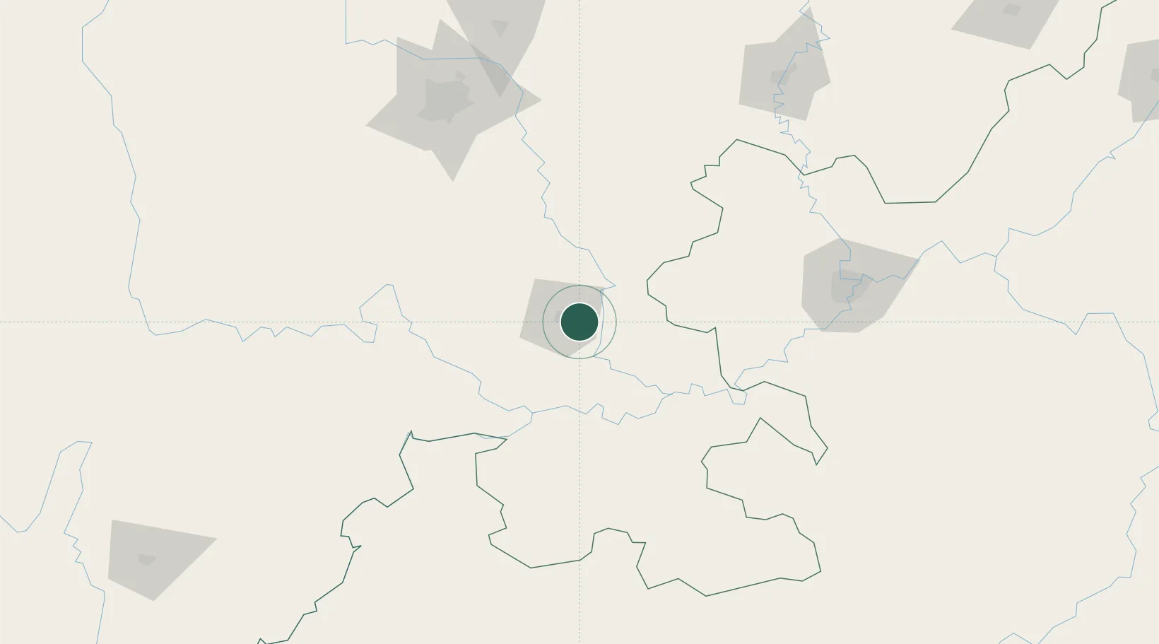
Location
Nearby Logistics Neighbours
Ports
- 1Fang-Cheng912 km
- 2Qinzhou923 km
- 3Hai Phong953 km
- 4Cam Pha956 km
- 5Hon Gai958 km
Airports
- 1Yibin Wuliangye Airport63 km
- 2Luzhou Yunlong Airport66 km
- 3Chengdu Tianfu International Airport117 km
- 4Chongqing Baishiyi Air Base144 km
- 5Chengdu Huaizhou Airport153 km
DatabookThe Record of Consolidated Knowledge
China beyond logistics?