Export Processing Zone · China

Shuangqiao Industrial Park Active
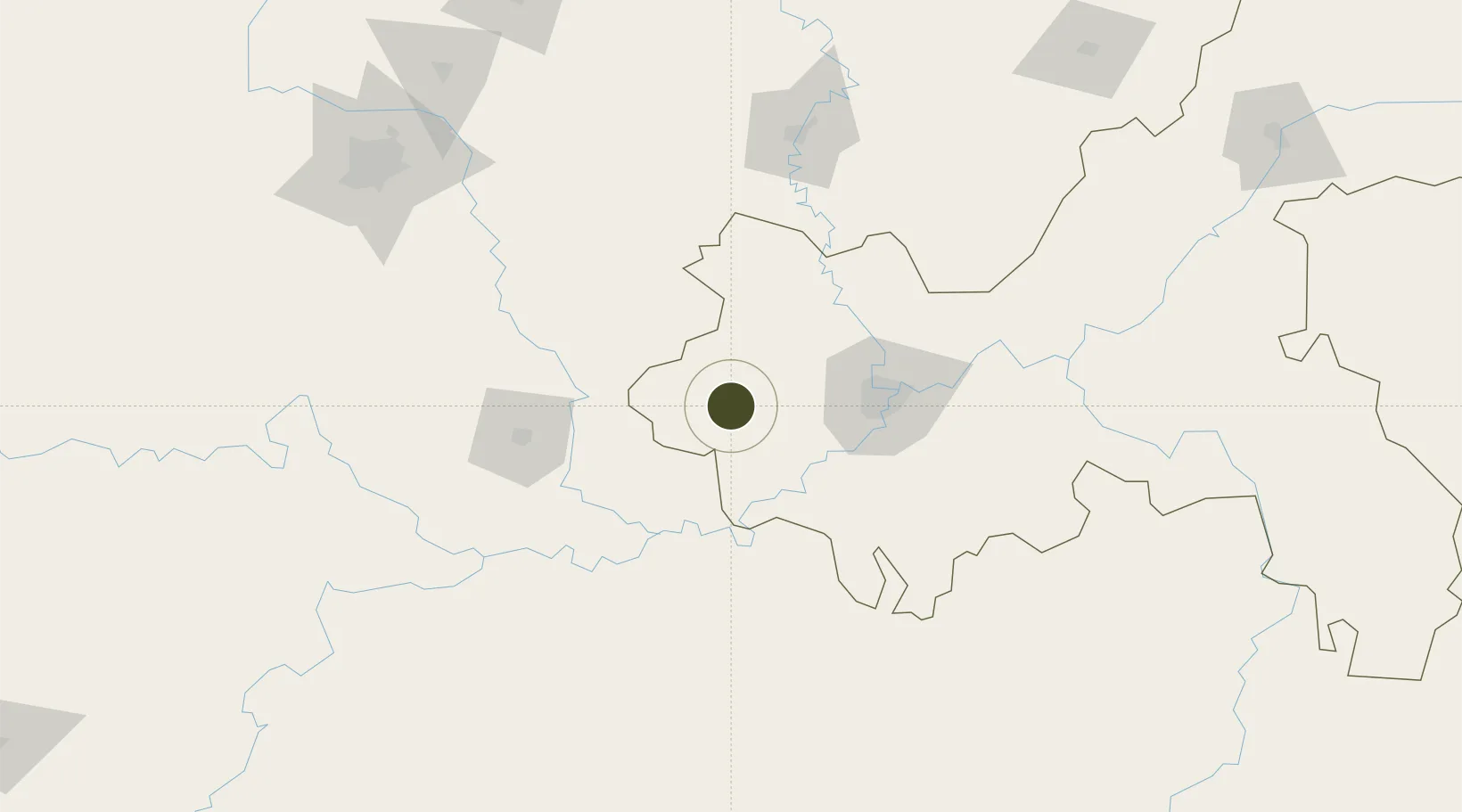
29.5071°, 105.7823°
1,227 ha
Zone area
900.0 km
Nearest port
55.8 km
Nearest airport

Gateway access

Nearest neighbours — logibook spatial index (haversine) over the source coordinates

Zone profile

Zone type
Export Processing Zone
Open Zone Map
Region
Chongqing
Open Zone Map
Status
Active
Open Zone Map
Management
Public
Open Zone Map
Operator
Management Committee of Shuangqiao Industrial Park
Open Zone Map
Legal framework
Reply of Chongqing Municipal People's Government on the overall urban and rural Planning of Shuangqiao District Yufu [2011] No. 33 Shuangqiao District People's Government: Your district has received your request for review of > (shuangqiao fuwen [2009] no
Open Zone Map

Location

Location of ozm-1289
Natural Earth 10m (public domain) · Chongqing · ozm-1289 · 29.51, 105.78GoogleOSMYandex

Nearby Logistics Neighbours

Ports
  1. 1Fang-Cheng900 km
  2. 2Qinzhou909 km
  3. 3Beihai951 km
  4. 4Cam Pha956 km
  5. 5Hai Phong960 km
Nearest neighbours — logibook spatial index (haversine) over the source coordinates
Airports
  1. 1Chongqing Baishiyi Air Base56 km
  2. 2Luzhou Yunlong Airport61 km
  3. 3Chongqing Jiangbei International Airport87 km
  4. 4Yibin Wuliangye Airport142 km
  5. 5Nanchong Gaoping Airport148 km
Nearest neighbours — logibook spatial index (haversine) over the source coordinates
Cities
  1. 1Luzhou77 km
  2. 2Chongqing79 km
  3. 3Xiantan89 km
  4. 4Zigong99 km
  5. 5Suining117 km
Nearest neighbours — logibook spatial index (haversine) over the source coordinates
DatabookThe Record of Consolidated Knowledge
China beyond logistics?
Browse databook

All Sources

Trade ZonesOpen Zone Map
CC BY
Portsthe NGA World Port Index
Public domain (US gov)
AirportsOurAirports
Public domain
LocationsUN/LOCODE
UN/LOCODE — free
← China trade zones