Export Processing Zone · China

Meilie Economic Development Zone Active
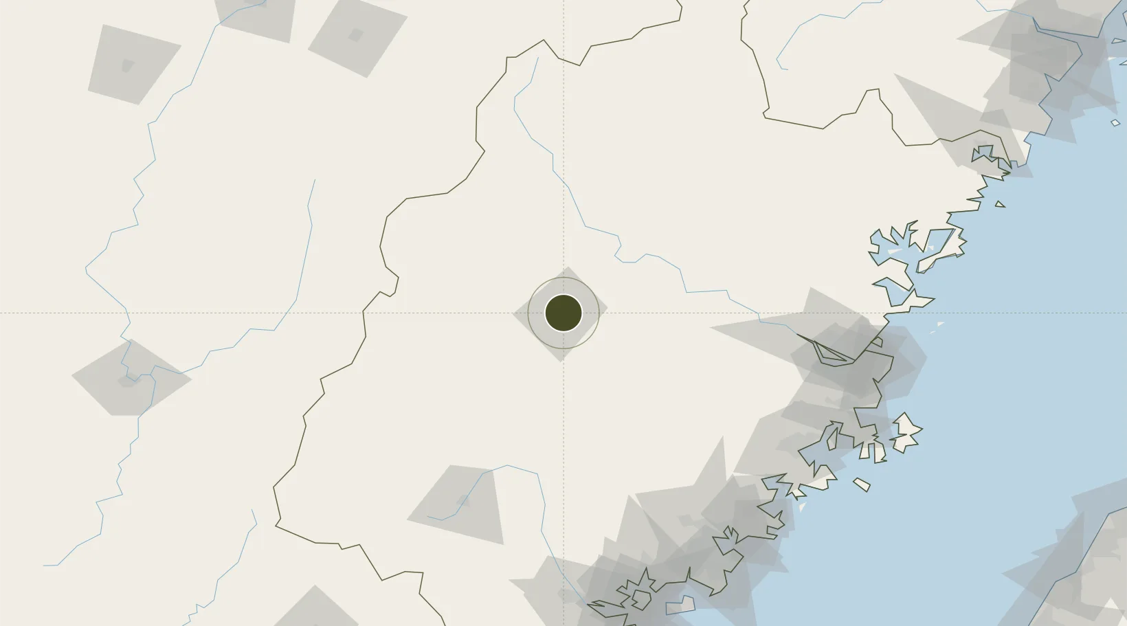
26.2765°, 117.6455°
273 ha
Zone area
166.5 km
Nearest port
25.1 km
Nearest airport

Gateway access

Nearest neighbours — logibook spatial index (haversine) over the source coordinates

Zone profile

Zone type
Export Processing Zone
Open Zone Map
Region
Fujian
Open Zone Map
Status
Active
Open Zone Map
Management
Public
Open Zone Map
Operator
Fujian Meilie Economic Development Zone Management Committee
Open Zone Map
Legal framework
Unavailable
Open Zone Map

Location

Location of ozm-1085
Natural Earth 10m (public domain) · Fujian · ozm-1085 · 26.28, 117.65GoogleOSMYandex

Nearby Logistics Neighbours

Ports
  1. 1Fuzhou167 km
  2. 2Xiuyu177 km
  3. 3Quanzhou182 km
  4. 4Zhangzhou184 km
  5. 5Xiamen208 km
Nearest neighbours — logibook spatial index (haversine) over the source coordinates
Airports
  1. 1Sanming Shaxian Airport25 km
  2. 2Liancheng Guanzhishan Airport112 km
  3. 3Fuzhou Zhuqi Heliport148 km
  4. 4Nanping Wuyishan Airport162 km
  5. 5Fuzhou Air Base169 km
Nearest neighbours — logibook spatial index (haversine) over the source coordinates
Cities
  1. 1Sanming / Shanming Shi6 km
  2. 2Xili60 km
  3. 3Gaozhou74 km
  4. 4Nanping81 km
  5. 5Dehua103 km
Nearest neighbours — logibook spatial index (haversine) over the source coordinates
Trade Zones
  1. 1Sanyuan Economic Development Zone13 km
  2. 2Mingxi Economic Development Zone40 km
  3. 3Youxi Economic Development Zone51 km
  4. 4Jiangle Economic Development Zone57 km
  5. 5Shunchang Industrial Park67 km
Nearest neighbours — logibook spatial index (haversine) over the source coordinates
DatabookThe Record of Consolidated Knowledge
China beyond logistics?
Browse databook

All Sources

Trade ZonesOpen Zone Map
CC BY
Portsthe NGA World Port Index
Public domain (US gov)
AirportsOurAirports
Public domain
LocationsUN/LOCODE
UN/LOCODE — free
← China trade zones