Free Trade Zone · China

Youxi Economic Development Zone Active
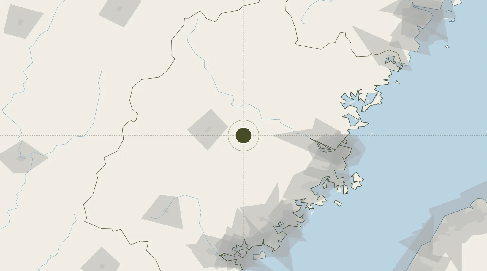
26.1845°, 118.1419°
4,000 ha
Zone area
116.2 km
Nearest port
40.8 km
Nearest airport

Gateway access

Nearest neighbours — logibook spatial index (haversine) over the source coordinates

Zone profile

Zone type
Free Trade Zone
Open Zone Map
Region
Fujian
Open Zone Map
Status
Active
Open Zone Map
Management
Public
Open Zone Map
Operator
Management Committee of Youxi Economic Development Zone
Open Zone Map
Legal framework
Unavailable
Open Zone Map

Location

Location of ozm-1565
Natural Earth 10m (public domain) · Fujian · ozm-1565 · 26.18, 118.14GoogleOSMYandex

Nearby Logistics Neighbours

Ports
  1. 1Fuzhou116 km
  2. 2Xiuyu135 km
  3. 3Quanzhou152 km
  4. 4Zhangzhou167 km
  5. 5Xiamen193 km
Nearest neighbours — logibook spatial index (haversine) over the source coordinates
Airports
  1. 1Sanming Shaxian Airport41 km
  2. 2Fuzhou Zhuqi Heliport97 km
  3. 3Fuzhou Air Base119 km
  4. 4Huian Air Base145 km
  5. 5Longtian Air Base148 km
Nearest neighbours — logibook spatial index (haversine) over the source coordinates
Cities
  1. 1Sanming / Shanming Shi53 km
  2. 2Gaozhou74 km
  3. 3Nanping82 km
  4. 4Dehua92 km
  5. 5Yongchun,Quanzhou99 km
Nearest neighbours — logibook spatial index (haversine) over the source coordinates
Trade Zones
  1. 1Meilie Economic Development Zone51 km
  2. 2Nanping Industrial Park53 km
  3. 3Sanyuan Economic Development Zone57 km
  4. 4Dehua Ceramic Industrial Park77 km
  5. 5Shunchang Industrial Park85 km
Nearest neighbours — logibook spatial index (haversine) over the source coordinates
DatabookThe Record of Consolidated Knowledge
China beyond logistics?
Browse databook

All Sources

Trade ZonesOpen Zone Map
CC BY
Portsthe NGA World Port Index
Public domain (US gov)
AirportsOurAirports
Public domain
LocationsUN/LOCODE
UN/LOCODE — free
← China trade zones