Transport Functions
Multimodal
Hub Profile
Place type
Populated place
Region
Fujian
Time zone
Asia/Shanghai
Elevation
439 m
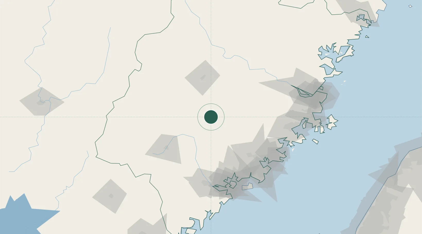
Location
Nearby Logistics Neighbours
Cities
- 1Dehua31 km
- 2Yongchun,Quanzhou57 km
- 3Sanming / Shanming Shi70 km
- 4Anxi,Quanzhou75 km
- 5Tongan, Xiamen108 km
Airports
Trade Zones
DatabookThe Record of Consolidated Knowledge
China beyond logistics?