Transport Functions
Multimodal
Hub Profile
Place type
Populated place
Region
Guangxi
Time zone
Asia/Shanghai
Elevation
261 m
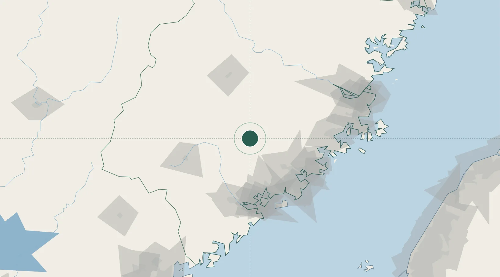
Location
Nearby Logistics Neighbours
Cities
- 1Yongchun,Quanzhou30 km
- 2Gaozhou31 km
- 3Anxi,Quanzhou44 km
- 4Tongan, Xiamen78 km
- 5Jinjiang Dry Port84 km
Airports
- 1Quanzhou Jinjiang International Airport93 km
- 2Xiamen Gaoqi International Airport95 km
- 3Huian Air Base97 km
- 4Kinmen Airport115 km
- 5Sanming Shaxian Airport116 km
Trade Zones
DatabookThe Record of Consolidated Knowledge
China beyond logistics?