Diversified Zone · China

Mingxi Economic Development Zone Active
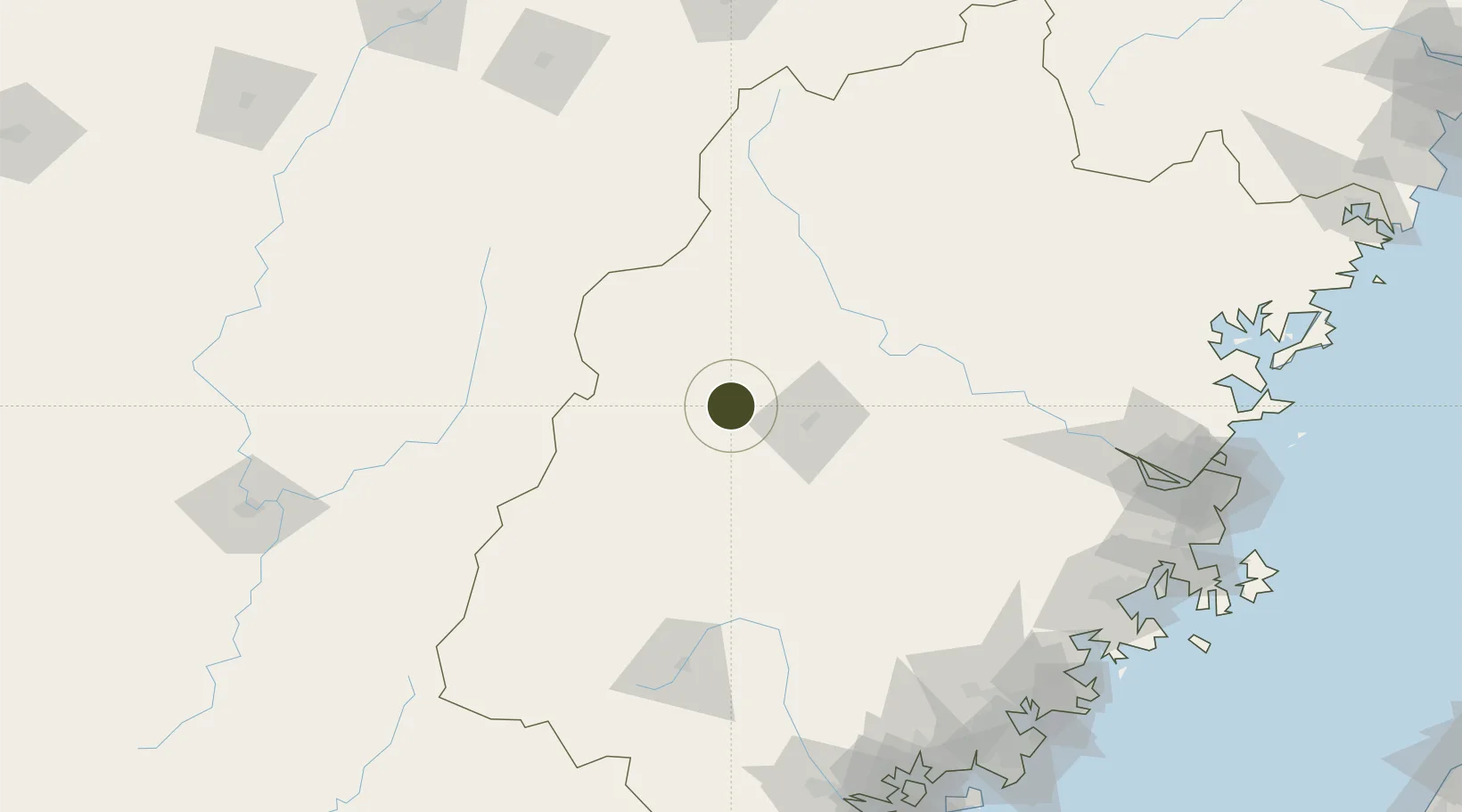
26.3476°, 117.2544°
1,022 ha
Zone area
205.7 km
Nearest port
58.4 km
Nearest airport

Gateway access

Nearest neighbours — logibook spatial index (haversine) over the source coordinates

Zone profile

Zone type
Diversified Zone
Open Zone Map
Region
Fujian
Open Zone Map
Status
Active
Open Zone Map
Management
Public
Open Zone Map
Operator
Mingxi Economic Development Zone Management Committee
Open Zone Map
Legal framework
In August 2011, The Provincial government approved Mingxi Economic Development Zone as a provincial economic development zone
Open Zone Map

Location

Location of ozm-690
Natural Earth 10m (public domain) · Fujian · ozm-690 · 26.35, 117.25GoogleOSMYandex

Nearby Logistics Neighbours

Ports
  1. 1Zhangzhou206 km
  2. 2Fuzhou206 km
  3. 3Quanzhou212 km
  4. 4Xiuyu213 km
  5. 5Xiamen226 km
Nearest neighbours — logibook spatial index (haversine) over the source coordinates
Airports
  1. 1Sanming Shaxian Airport58 km
  2. 2Liancheng Guanzhishan Airport90 km
  3. 3Nanping Wuyishan Airport168 km
  4. 4Fuzhou Zhuqi Heliport187 km
  5. 5Fuzhou Air Base209 km
Nearest neighbours — logibook spatial index (haversine) over the source coordinates
Cities
  1. 1Sanming / Shanming Shi38 km
  2. 2Xili46 km
  3. 3Gaozhou96 km
  4. 4Nanping101 km
  5. 5Dehua127 km
Nearest neighbours — logibook spatial index (haversine) over the source coordinates
Trade Zones
  1. 1Sanyuan Economic Development Zone36 km
  2. 2Meilie Economic Development Zone40 km
  3. 3Qingliu Economic Development Zone47 km
  4. 4Jiangle Economic Development Zone56 km
  5. 5Taining Industrial Park65 km
Nearest neighbours — logibook spatial index (haversine) over the source coordinates
DatabookThe Record of Consolidated Knowledge
China beyond logistics?
Browse databook

All Sources

Trade ZonesOpen Zone Map
CC BY
Portsthe NGA World Port Index
Public domain (US gov)
AirportsOurAirports
Public domain
LocationsUN/LOCODE
UN/LOCODE — free
← China trade zones