Transport Functions
Port
Road
Hub Profile
Region
HP
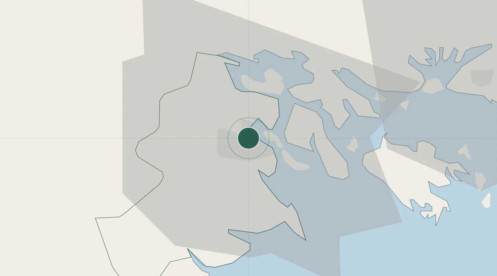
Location
Nearby Logistics Neighbours
Cities
- 1Cua Cam Terminal2 km
- 2Doan Xa Terminal2 km
- 3Transvina Terminal2 km
- 4Haiphong6 km
- 5Dinh Vu Terminal8 km
Ports
- 1Hai Phong6 km
- 2Hon Gai39 km
- 3Cam Pha72 km
- 4Fang-Cheng197 km
- 5Qinzhou218 km
Airports
Trade Zones
DatabookThe Record of Consolidated Knowledge
Vietnam beyond logistics?