Industrial Zone · Vietnam

Nomura Industrial Zone Active
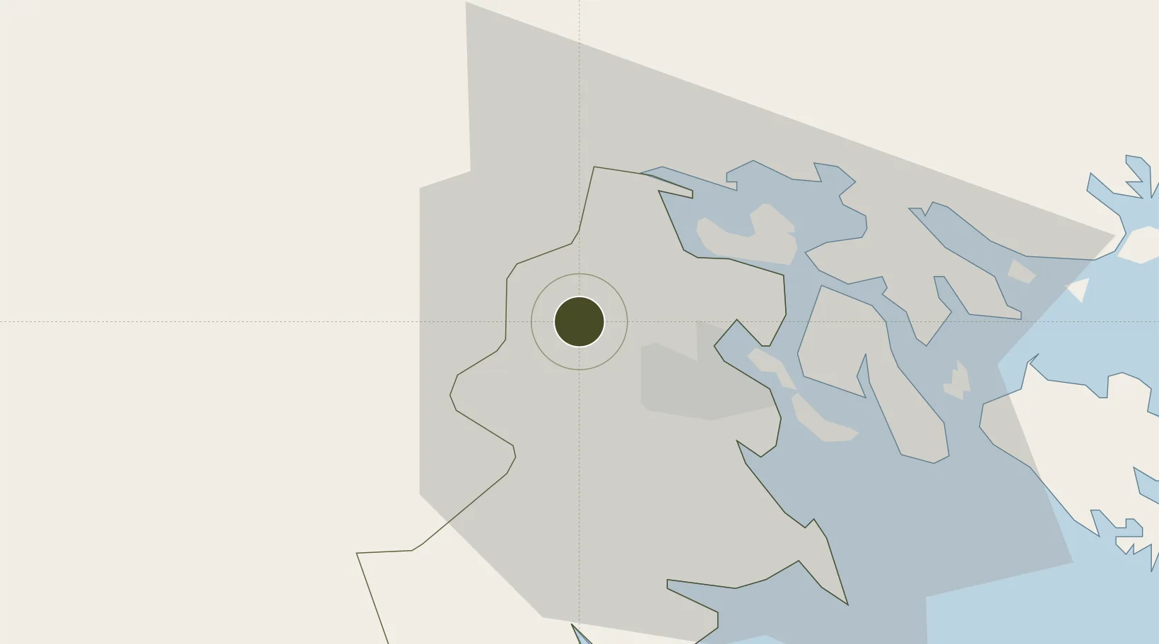
20.9022°, 106.5934°
264 ha
Zone area
9.5 km
Nearest port
16.5 km
Nearest airport

Gateway access

Nearest neighbours — logibook spatial index (haversine) over the source coordinates

Zone profile

Zone type
Industrial Zone
the World Bank SEZ database
Region
Hải Phòng
the World Bank SEZ database
Status
Active
the World Bank SEZ database
Established
1993
the World Bank SEZ database
Management
PPP
the World Bank SEZ database
Operator
Nomura-Haiphong Industrial Zone Development Corporation
the World Bank SEZ database
Regulatory authority
Chairmen of Provincial People's Committees
the World Bank SEZ database
Legal framework
Law on Foreign Investment in Vietnam, 1996; Decree No. 36/1997/CP on The Regulation of Industrial, Economic and Export processing zones
the World Bank SEZ database

Location

Location of VNM88
Natural Earth 10m (public domain) · Hải Phòng · VNM88 · 20.90, 106.59GoogleOSMYandex

Fiscal & incentives

Corporate tax
20%
the World Bank SEZ database
Tax relief
100% exempt
the World Bank SEZ database
Relief duration
4 years
the World Bank SEZ database
VAT
No exemption
the World Bank SEZ database
Import duty (inputs)
0% exempt
the World Bank SEZ database
Import duty (capex)
100% exempt
the World Bank SEZ database
Profit repatriation
No exemption
the World Bank SEZ database
Capital gains
No exemption
the World Bank SEZ database
Withholding tax
No exemption
the World Bank SEZ database
Min. investment
None
the World Bank SEZ database
Min. export
0%
the World Bank SEZ database
Employment incentive
No exemption
the World Bank SEZ database
Developer incentive
No established framework
the World Bank SEZ database

Nearby Logistics Neighbours

Ports
  1. 1Hai Phong10 km
  2. 2Hon Gai49 km
  3. 3Cam Pha82 km
  4. 4Fang-Cheng205 km
  5. 5Qinzhou226 km
Nearest neighbours — logibook spatial index (haversine) over the source coordinates
Airports
  1. 1Cat Bi International Airport17 km
  2. 2Gia Lam Air Base75 km
  3. 3Van Don International Airport89 km
  4. 4Noi Bai International Airport89 km
  5. 5Baihe Ningming Air Base146 km
Nearest neighbours — logibook spatial index (haversine) over the source coordinates
Cities
  1. 1Vat Cach2 km
  2. 2Cua Cam Terminal10 km
  3. 3Doan Xa Terminal10 km
  4. 4Transvina Terminal10 km
  5. 5Chua Ve Terminal12 km
Nearest neighbours — logibook spatial index (haversine) over the source coordinates
Trade Zones
  1. 1Kim Thành Industrial Zone13 km
  2. 2Dinh Vu Industrial Zone21 km
  3. 3Dinh Vu - Cat Hai Economic Zone21 km
  4. 4Lai Vu Industrial Zone23 km
  5. 5Nam Sach Industrial Zone24 km
Nearest neighbours — logibook spatial index (haversine) over the source coordinates
DatabookThe Record of Consolidated Knowledge
Vietnam beyond logistics?
Browse databook

All Sources

Trade Zonesthe World Bank SEZ database
CC BY 4.0
Portsthe NGA World Port Index
Public domain (US gov)
AirportsOurAirports
Public domain
LocationsUN/LOCODE
UN/LOCODE — free
← Vietnam trade zones