Transport Functions
Multimodal
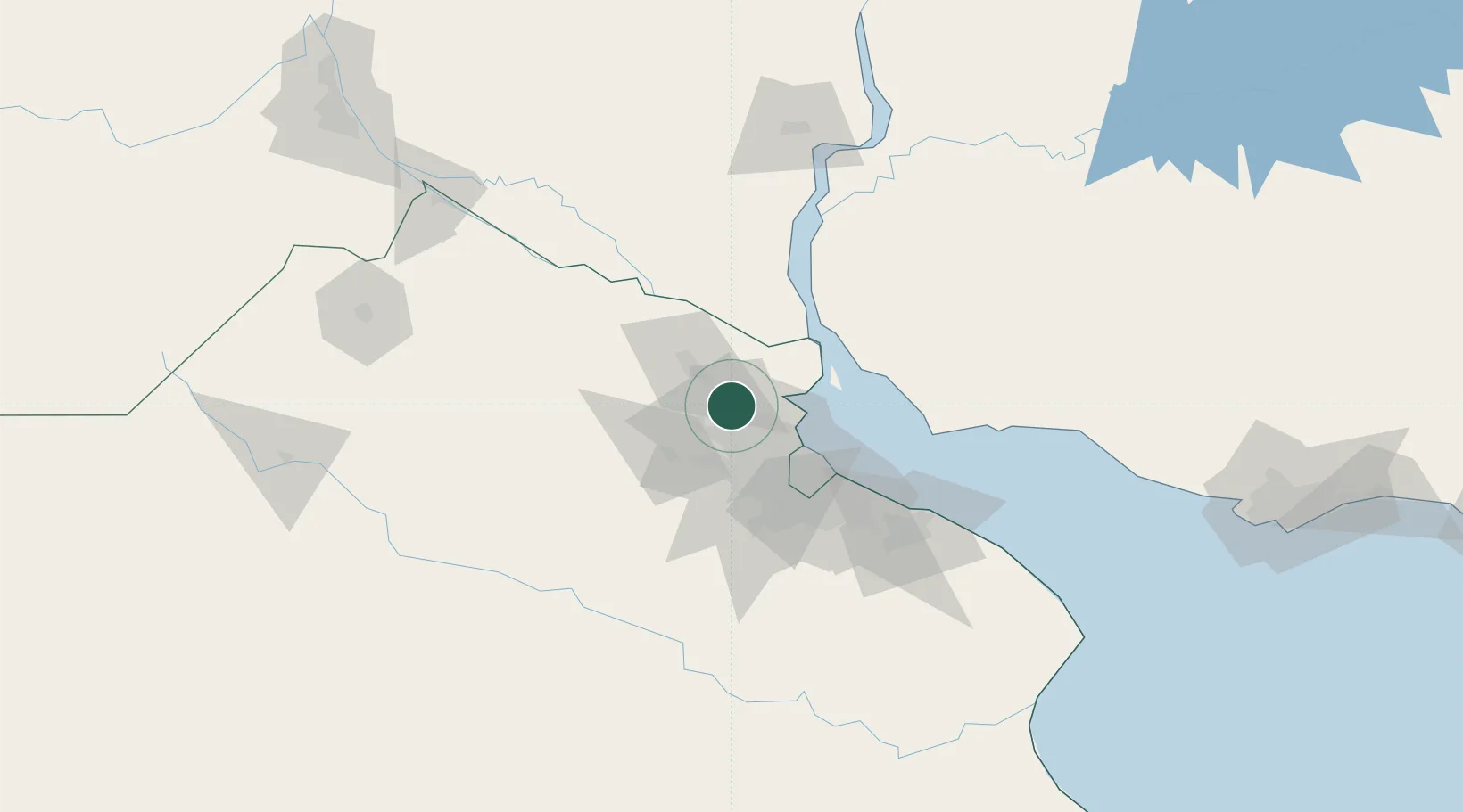
Hub Profile
Place type
Provincial seat
Region
Buenos Aires
Time zone
America/Argentina/Buenos_Aires
Elevation
20 m
Location
Nearby Logistics Neighbours
Cities
- 1Pilar14 km
- 2José C. Paz20 km
- 3Tigre23 km
- 4Campana25 km
- 5Capilla del Señor26 km
Ports
- 1Campana25 km
- 2Zarate34 km
- 3Buenos Aires51 km
- 4Nueva Palmira62 km
- 5Puerto Ibicuy73 km
Airports
Trade Zones
- 1Zona Sur Buenos Aires45 km
- 2Nueva Palmira Free Zone62 km
- 3Montes de Plata Free Zone71 km
- 4Colonia Free Zone92 km
- 5La Plata Free Trade Zone101 km
DatabookThe Record of Consolidated Knowledge
Argentina beyond logistics?