UN/LOCODE hub · Argentina
ARDGU

Del Guazu

-33.9000°, -58.8667°
1
Transport functions

Transport Functions

Port
UN/LOCODE

Hub Profile

Region
E
GeoNames

Location

Location of ARDGU
Natural Earth 10m (public domain) · E · ARDGU · -33.90, -58.87GoogleOSMYandex

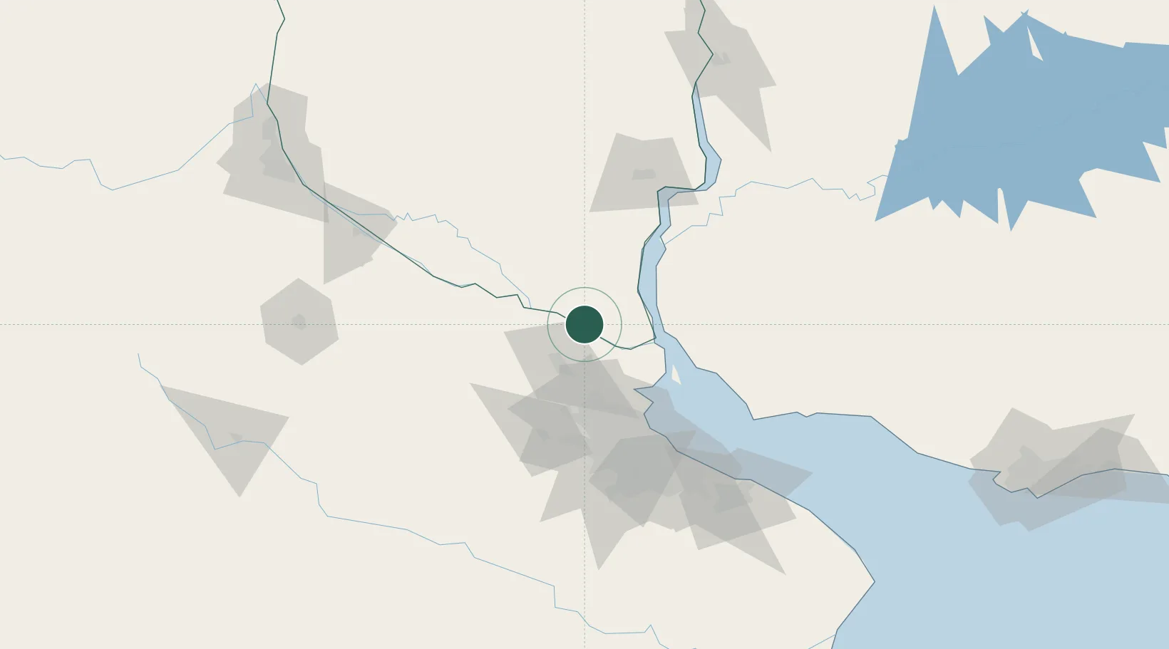
Nearby Logistics Neighbours

Cities
  1. 1Zárate26 km
  2. 2Las Palmas28 km
  3. 3Campana32 km
  4. 4Ibicuy33 km
  5. 5San Pedro37 km
Nearest neighbours — logibook spatial index (haversine) over the source coordinates
Ports
  1. 1Zarate26 km
  2. 2Campana29 km
  3. 3Puerto Ibicuy34 km
  4. 4Nueva Palmira42 km
  5. 5Buenos Aires90 km
Nearest neighbours — logibook spatial index (haversine) over the source coordinates
Airports
  1. 1San Fernando Airport67 km
  2. 2El Palomar Airport82 km
  3. 3Aeroparque Jorge Newbery84 km
  4. 4Gualeguaychu Airport102 km
  5. 5Ezeiza International Airport - Ministro Pistarini107 km
Nearest neighbours — logibook spatial index (haversine) over the source coordinates
Trade Zones
  1. 1Nueva Palmira Free Zone42 km
  2. 2Montes de Plata Free Zone83 km
  3. 3Zona Sur Buenos Aires89 km
  4. 4Zona Franca UPM103 km
  5. 5UPM Fray Bentos Free Zone103 km
Nearest neighbours — logibook spatial index (haversine) over the source coordinates
DatabookThe Record of Consolidated Knowledge
Argentina beyond logistics?
Browse databook

All Sources

LocationsUN/LOCODE
UN/LOCODE — free
Portsthe NGA World Port Index
Public domain (US gov)
AirportsOurAirports
Public domain
Trade Zonesthe World Bank SEZ database
CC BY 4.0
Trade ZonesOpen Zone Map
CC BY
← Argentina locations