Seaport · Uruguay

Nueva PalmiraUYNVP

-33.8833°, -58.4167°
9.4 m
Channel depth

Channel & Berth Profile

SEA LEVEL (CD)CHANNEL BEDAnchorage · 3.4 mCargo pier · 7.9 mChannel · 9.4 m
NGA World Port Index

Pilotage, Tugs & Services

Pilotage compulsoryYES
Pilotage availableYES
Pilotage advisableYES
Tug assistanceYES
Salvage tugsNO
Potable waterYES
Diesel bunkersNO
MedicalYES
Garbage disposalYES
NGA World Port Index

Facilities & Capabilities

Container
Ro-Ro
Liquid bulk
Dry bulk
Oil terminal
Break bulk
Dry dock
RepairsNO
BunkeringYES
Rail link
Dangerous cargo
ISPS security
NGA World Port Index

Harbour Specifications
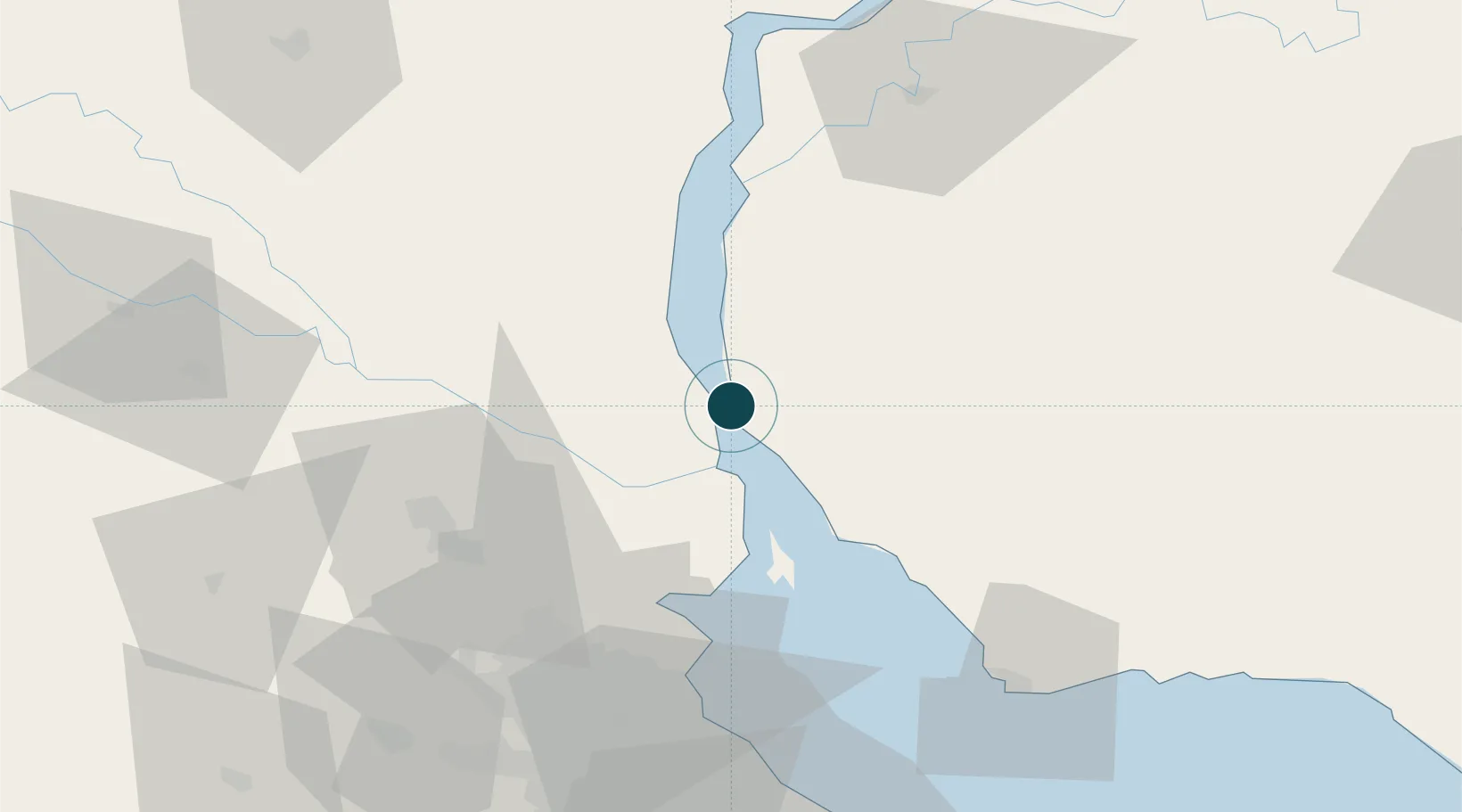
Harbour size
Very Small
NGA World Port Index
Harbour type
River (Natural)
NGA World Port Index
Shelter
Good
NGA World Port Index
Water body
Rio de la Plata; South Atlantic Ocean
NGA World Port Index
Pilotage
Yes
NGA World Port Index

Location

Location of UYNVP
Natural Earth 10m (public domain) · Soriano · UYNVP · -33.88, -58.42GoogleOSMYandex

Nearby Logistics Neighbours

Ports
  1. 1Campana59 km
  2. 2Zarate61 km
  3. 3Puerto Ibicuy72 km
  4. 4Buenos Aires80 km
  5. 5Colonia83 km
Nearest neighbours — logibook spatial index (haversine) over the source coordinates
Cities
  1. 1Del Guazu42 km
  2. 2Tigre61 km
  3. 3Belén de Escobar62 km
  4. 4Zárate62 km
  5. 5Campana62 km
Nearest neighbours — logibook spatial index (haversine) over the source coordinates
Airports
  1. 1San Fernando Airport65 km
  2. 2Aeroparque Jorge Newbery75 km
  3. 3El Palomar Airport83 km
  4. 4Gualeguaychu Airport99 km
  5. 5Ezeiza International Airport - Ministro Pistarini105 km
Nearest neighbours — logibook spatial index (haversine) over the source coordinates
Trade Zones
  1. 1Nueva Palmira Free Zone1 km
  2. 2Montes de Plata Free Zone51 km
  3. 3Colonia Free Zone85 km
  4. 4Zona Sur Buenos Aires85 km
  5. 5Zona Franca UPM86 km
Nearest neighbours — logibook spatial index (haversine) over the source coordinates
DatabookThe Record of Consolidated Knowledge
Uruguay beyond logistics?
Browse databook

All Sources

Portsthe NGA World Port Index
Public domain (US gov)
AirportsOurAirports
Public domain
LocationsUN/LOCODE
UN/LOCODE — free
Trade Zonesthe World Bank SEZ database
CC BY 4.0
Trade ZonesOpen Zone Map
CC BY
← Uruguay ports