Large airport · Argentina
Ezeiza International Airport - Ministro PistariniSAEZ
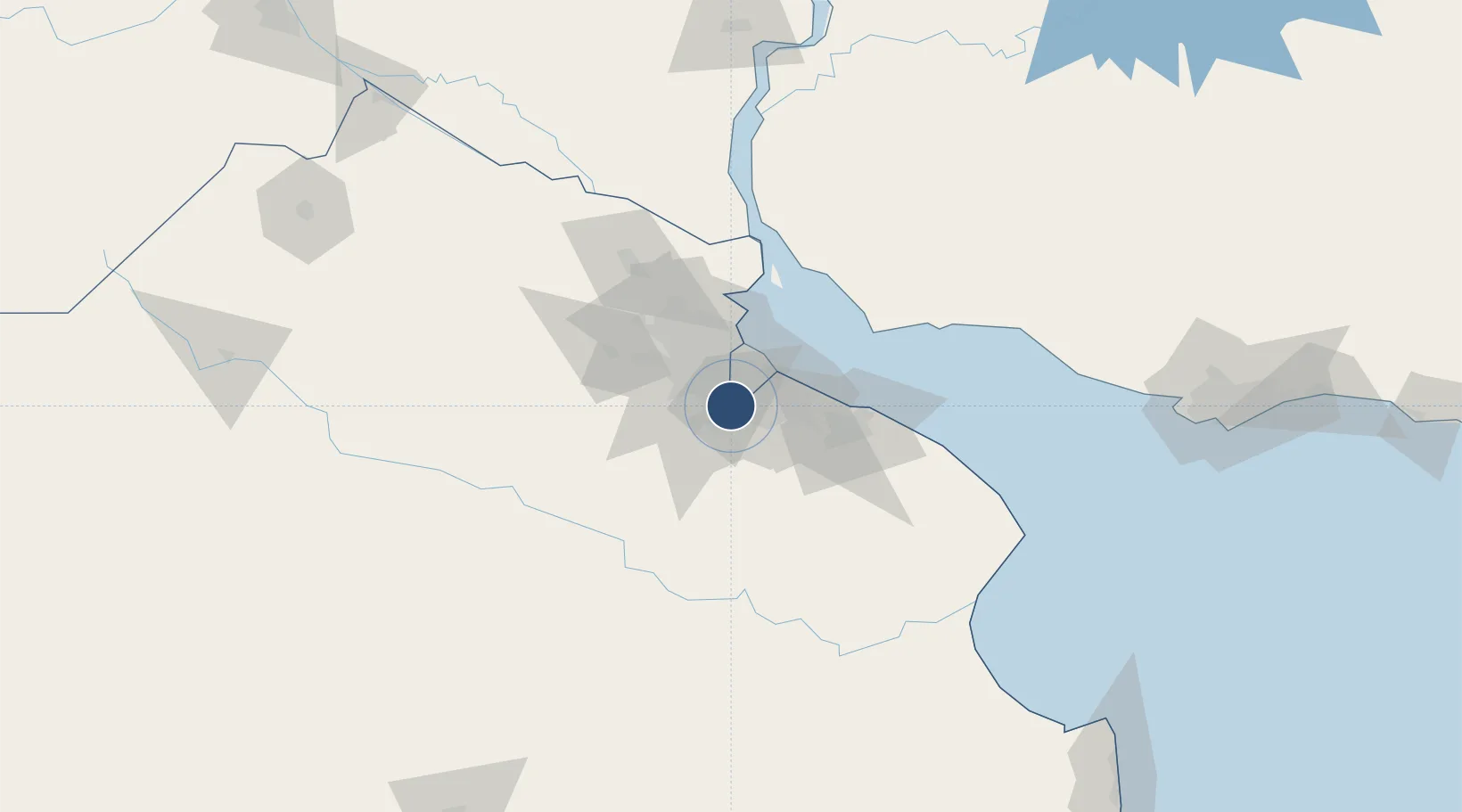
-34.8222°, -58.5358°
10,827 ft
Longest runway
2
Runways
67 ft
Elevation
Runway & Layout

Radio Frequencies
ATIS
127.8 MHz
TWR
118.6 MHz
EZEIZA TWR
APP
119.9 MHz
EZEIZA APP
A/D
124.9 MHz
BAIRES CON
GCCD
121.75 MHz
GND/CLNC DEL
Navaids
EZE VOR-DME Ezeiza 116.50 MHz
Runways · 2
| Runway | Dimensions | Surface | True heading | Lit |
|---|---|---|---|---|
| 11/29 | 10,827 × 197ft | Asphalt | 102° | ✓ |
| 17/35 | 10,187 × 148ft | Asphalt | 164° | ✓ |
Airport Specifications
IATA code
EZE
ICAO code
SAEZ
Airport class
Large airport
Scheduled service
Yes
Runway surface
Asphalt
Served city
Buenos Aires (Ezeiza)
Location
Nearby Logistics Neighbours
Airports
- 1El Palomar Airport25 km
- 2Aeroparque Jorge Newbery31 km
- 3San Fernando Airport41 km
- 4La Plata Airport61 km
- 5Gualeguaychu Airport202 km
Cities
- 1Canning5 km
- 2Laferrere9 km
- 3González Catán10 km
- 4Villa Galicia15 km
- 5Remedios de Escalada17 km
Ports
- 1Buenos Aires29 km
- 2La Plata60 km
- 3Colonia74 km
- 4Campana85 km
- 5Zarate94 km
Trade Zones
- 1Zona Sur Buenos Aires20 km
- 2La Plata Free Trade Zone58 km
- 3Colonia Free Zone75 km
- 4Montes de Plata Free Zone80 km
- 5Nueva Palmira Free Zone105 km
DatabookThe Record of Consolidated Knowledge
Argentina beyond logistics?