Transport Functions
Rail
Road
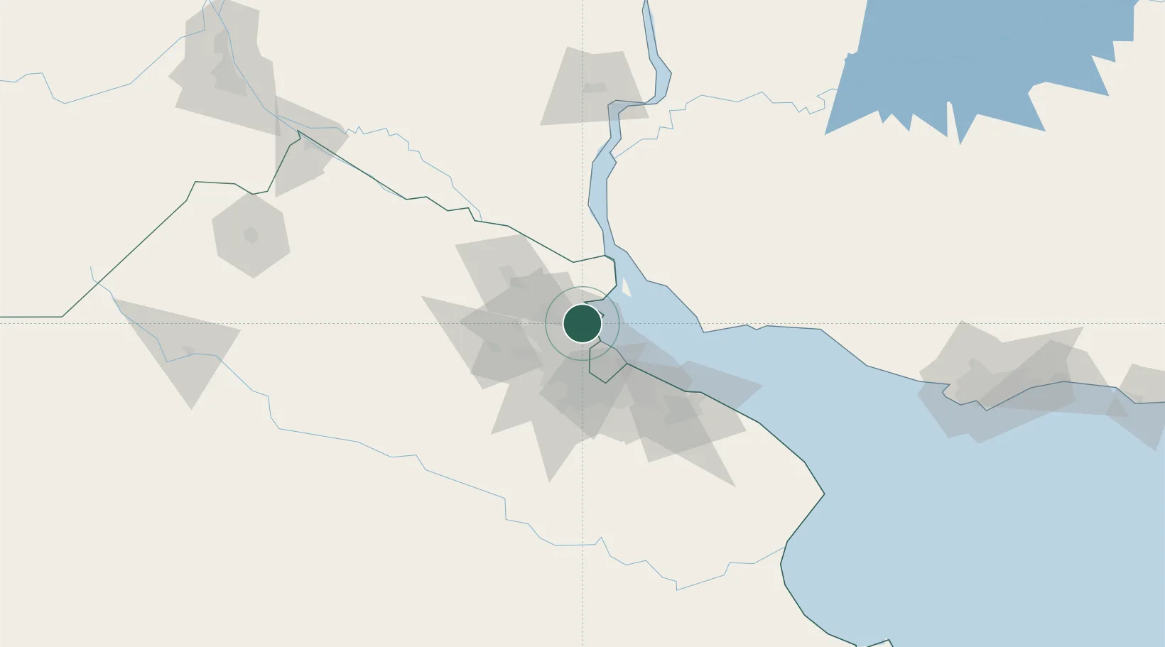
Hub Profile
Place type
Populated place
Region
Buenos Aires
Population
31,106
Time zone
America/Argentina/Buenos_Aires
Elevation
2 m
Location
Nearby Logistics Neighbours
Cities
- 1Victoria6 km
- 2Vicente López14 km
- 3José C. Paz18 km
- 4Villa Bosch19 km
- 5Pablo Podestá21 km
Ports
- 1Buenos Aires29 km
- 2Campana46 km
- 3Zarate56 km
- 4Nueva Palmira61 km
- 5Colonia68 km
Airports
Trade Zones
- 1Zona Sur Buenos Aires26 km
- 2Montes de Plata Free Zone53 km
- 3Nueva Palmira Free Zone61 km
- 4Colonia Free Zone69 km
- 5La Plata Free Trade Zone79 km
DatabookThe Record of Consolidated Knowledge
Argentina beyond logistics?