Seaport · Argentina
Buenos AiresARBUE
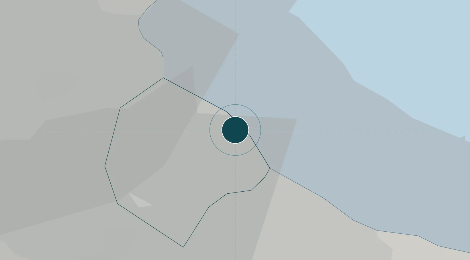
-34.6000°, -58.3667°
6.4 m
Channel depth
3
Container terminals
245.4
Port liner connectivity
Channel & Berth Profile
Pilotage, Tugs & Services
Pilotage compulsoryYES
Pilotage advisableYES
Tug assistanceYES
Salvage tugsYES
Shore powerYES
Potable waterYES
Diesel bunkersYES
MedicalYES
Garbage disposalYES
Facilities & Capabilities
Container—
Ro-Ro—
Liquid bulk—
Dry bulk—
Oil terminal—
Break bulk—
Dry dockNO
RepairsNO
BunkeringYES
Rail linkYES
Dangerous cargo—
ISPS security—
Harbour Specifications
Harbour size
Large
Harbour type
Coastal (Breakwater)
Shelter
Excellent
Water body
Rio de la Plata; South Atlantic Ocean
Tidal range
1 m
Overhead limit
Yes
Pilotage
Yes
Liner Connectivity
245.4
PLSCI
Port Liner Shipping Connectivity Index for Buenos Aires, as published by UNCTAD for the latest available quarter. Higher values indicate stronger scheduled liner-shipping integration.
Shown relative to the highest per-port PLSCI in the dataset (1,657.9).
Location
Container Terminals · 3
EXOLGAN CONTAINER TERMINAL BUENOS AIRES
EXOL EXOLGAN S.A.
APM TERMINALS BUENOS AIRES T4
TERM4 TERMINAL 4 S.A. / APM TERMINALS
TERMINALES RIO DE LA PLATA (TRP)
TRP TERMINALES RIO DE LA PLATA S.A. / DP WORLD
Nearby Logistics Neighbours
Ports
- 1Colonia50 km
- 2La Plata51 km
- 3Campana74 km
- 4Nueva Palmira80 km
- 5Zarate84 km
Cities
- 1Dock Sur6 km
- 2Villa Dominico10 km
- 3Lanús12 km
- 4Pablo Podestá14 km
- 5Vicente López14 km
Airports
Trade Zones
- 1Zona Sur Buenos Aires13 km
- 2La Plata Free Trade Zone51 km
- 3Montes de Plata Free Zone51 km
- 4Colonia Free Zone51 km
- 5Nueva Palmira Free Zone79 km
DatabookThe Record of Consolidated Knowledge
Argentina beyond logistics?